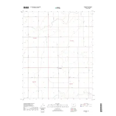
2019 Map of Stonington
USGS Topo · Published 2019About this map
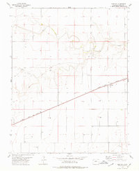
Stonington anchors this high plains landscape in southern Baca County, where the grid of county roads meets the winding courses of intermittent waterways. The area is defined by its agricultural layout, organized into sections across t31s r43w and t31s r42w, reflecting the enduring Public Land Survey System. To the south, the N Fork Cimarron River carves a more complex path through the terrain, while Sand Arroyo Creek crosses the northern reaches. The presence of the Stonington Cem south of the main settlement provides a specific point of interest for genealogists tracing families in this corner of Colorado. The map meticulously records the extensive network of local connectors, including Co RD 49 and Co RD Aa, which facilitate travel across this open, rural territory near the state line.
Find a feature on this map
27 named features on this map. Tap any name to fly to it.
Don’t see what you’re looking for? This feature index may not catch every label — zoom into the map to look around manually.
Map Details
Editions of this 2019 Stonington Map
This is the sole edition of this map. No revisions or reprints were ever made.
Other maps of this area

1892 · Vilas
USGS Topo · 1:125,000

1955 · La Junta
USGS Topo · 1:250,000

1958 · La Junta
USGS Topo · 1:250,000

1968 · La Junta
USGS Topo · 1:250,000

1978 · Walsh SE
USGS Topo · 1:24,000
1978 · Midway
USGS Topo · 1:24,000
1978 · Walsh
USGS Topo · 1:24,000

1978 · Moore Draw NE
USGS Topo · 1:24,000
1978 · Midway NE
USGS Topo · 1:24,000
1978 · Bartlett
USGS Topo · 1:24,000