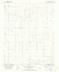
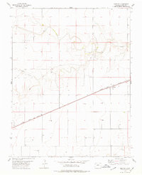
1978 Map of Stonington
USGS Topo · Published 1979About this map
The North Fork Cimarron River and Sand Arroyo define this high-plains landscape in southeastern Colorado during the late 1970s. The settlement of Stonington serves as the central hub of this agricultural and resource-rich area, supported by the small community of Lawyer to the north. Water management is a primary theme of the region, evidenced by the high density of labeled Wells distributed across the prairie sections and the prominent Burr landmark. The economy of the era shows a clear shift toward industrial extraction, with active sites such as the Gravel Pit, Oil Well, and various Drill Holes appearing alongside traditional ranching land. For genealogists and local historians, the Stonington Cem provides a vital point of reference for the families who settled this corner of Baca County.
Find a feature on this map
12 named features on this map. Tap any name to fly to it.
Don’t see what you’re looking for? This feature index may not catch every label — zoom into the map to look around manually.
Map Details
Editions of this 1978 Stonington Map
This is the sole edition of this map. No revisions or reprints were ever made.
Other maps of this area

1892 · Vilas
USGS Topo · 1:125,000

1955 · La Junta
USGS Topo · 1:250,000

1958 · La Junta
USGS Topo · 1:250,000

1968 · La Junta
USGS Topo · 1:250,000

1978 · Walsh SE
USGS Topo · 1:24,000
1978 · Midway
USGS Topo · 1:24,000
1978 · Walsh
USGS Topo · 1:24,000

1978 · Moore Draw NE
USGS Topo · 1:24,000
1978 · Midway NE
USGS Topo · 1:24,000
1978 · Bartlett
USGS Topo · 1:24,000