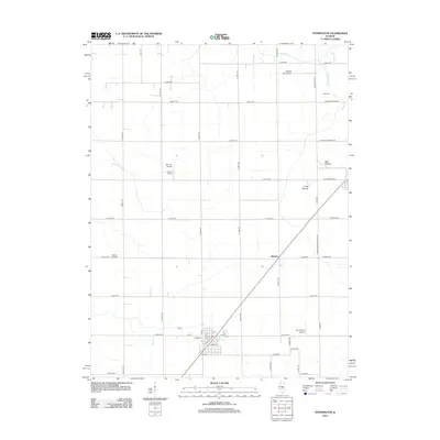
2012 Map of Stonington
USGS Topo · Published 2012About this map
Blue Mound and Long Mound rise as prominent geological features above the agricultural grid of central Illinois in the early 21st century. The landscape is characterized by a precise network of rural roads such as E 2600 N Rd and N 1900 E Rd, reflecting the long-established township and range system. Small aviation facilities including Mc Coy Airport, Noland RLA Airport, and Mc Christy Airport are scattered across the terrain, indicating a modern reliance on light aircraft within this farming community.
Find a feature on this map
47 named features on this map. Tap any name to fly to it.
Don’t see what you’re looking for? This feature index may not catch every label — zoom into the map to look around manually.
Map Details
Editions of this 2012 Stonington Map
This is the sole edition of this map. No revisions or reprints were ever made.
Other maps of this area

1923 · Taylorville
USGS Topo · 1:62,500

1925 · Taylorville
USGS Topo · 1:62,500

1952 · Assumption
USGS Topo · 1:62,500

1954 · Niantic
USGS Topo · 1:62,500

1954 · Mechanicsburg
USGS Topo · 1:62,500

1958 · Decatur
USGS Topo · 1:250,000

1961 · Decatur
USGS Topo · 1:250,000

1974 · Willeys
USGS Topo · 1:24,000

1982 · Harristown
USGS Topo · 1:24,000
1982 · Stonington
USGS Topo · 1:24,000