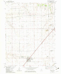
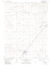
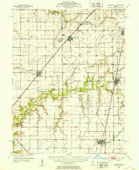
1982 Map of Stonington
USGS Topo · Published 1983About this map
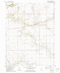
The town of Stonington serves as the focal point of this Central Illinois landscape, where the Norfolk and Western railroad slices diagonally through a grid of productive farmland. Settled along the border of Christian Co and Macon Co, the area reveals a specialized economy balancing agriculture with energy extraction, notably within the Mt Auburn Consolidated Oil Field. Natural landmarks like Blue Mound and Long Mound disrupt the otherwise level prairie, while several small airfields, including the McChristy Landing Strip and Noland Landing Strip, suggest a reliance on private aviation for local transit and crop management.
Find a feature on this map
29 named features on this map. Tap any name to fly to it.
Don’t see what you’re looking for? This feature index may not catch every label — zoom into the map to look around manually.
Map Details
Editions of this 1982 Stonington Map
2 editions found
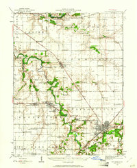
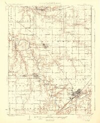
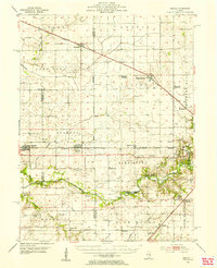
Other maps of this area
1923 · Taylorville
USGS Topo · 1:62,500
1925 · Taylorville
USGS Topo · 1:62,500
1952 · Assumption
USGS Topo · 1:62,500
1954 · Niantic
USGS Topo · 1:62,500

1954 · Mechanicsburg
USGS Topo · 1:62,500

1958 · Decatur
USGS Topo · 1:250,000

1961 · Decatur
USGS Topo · 1:250,000
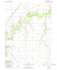
1974 · Willeys
USGS Topo · 1:24,000
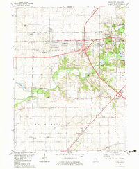
1982 · Harristown
USGS Topo · 1:24,000
1982 · Grove City
USGS Topo · 1:24,000