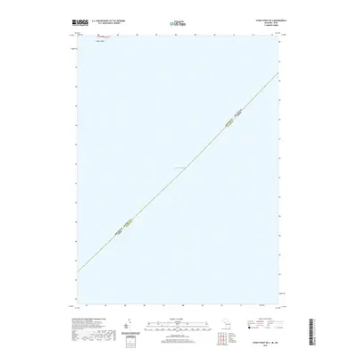
2019 Map of Stony Point OE S
USGS Topo · Published 2019About this map
Lake Erie dominates this aquatic boundary survey, which traces the maritime border between Michigan and Ohio within the western basin. The map illustrates the exact diagonal line separating Monroe Co, Michigan, from Lucas Co, Ohio, across the open water. At the northern edge of the sheet, the small terrain of Smiths Island appears as a rare landmark in an otherwise vast expanse of the lake. This specific edition provides a detailed contemporary look at the jurisdictional divisions of the Great Lakes, reflecting the modern survey standards of the 21st century for these critical water boundaries.
Find a feature on this map
4 named features on this map. Tap any name to fly to it.
Don’t see what you’re looking for? This feature index may not catch every label — zoom into the map to look around manually.
Map Details
Editions of this 2019 Stony Point OE S Map
This is the sole edition of this map. No revisions or reprints were ever made.
Other maps of this area

1900 · Maumee Bay
USGS Topo · 1:62,500

1900 · Oak Harbor
USGS Topo · 1:62,500

1912 · Monroe
USGS Topo · 1:62,500

1914 · Monroe
USGS Topo · 1:62,500

1927 · Monroe
USGS Topo · 1:31,680

1934 · Reno Beach
USGS Topo · 1:24,000

1934 · Point Place
USGS Topo · 1:24,000

1936 · Stony Point
USGS Topo · 1:31,680
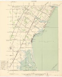
1936 · Erie
USGS Topo · 1:31,680
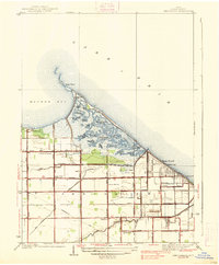
1938 · Reno Beach
USGS Topo · 1:31,680