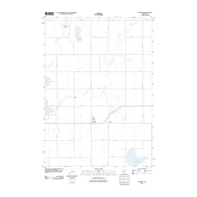
2010 Map of Storden
USGS Topo · Published 2010About this map
Storden serves as the primary hub of this Cottonwood County landscape, characterized by a strictly rectilinear road grid that defines the agricultural character of the region. The map reveals a community supported by essential local institutions, including the Storden Post Office and multiple burial grounds such as Old Westbrook Cemetery, Storden Cemetery, and Bethany Cemetery. These features, alongside a network of county highways like County Hwy-53, illustrate the organized settlement pattern of the western Minnesota prairie.
Find a feature on this map
28 named features on this map. Tap any name to fly to it.
Don’t see what you’re looking for? This feature index may not catch every label — zoom into the map to look around manually.
Map Details
Editions of this 2010 Storden Map
This is the sole edition of this map. No revisions or reprints were ever made.
Other maps of this area

1953 · New Ulm
USGS Topo · 1:250,000

1954 · Fairmont
USGS Topo · 1:250,000

1957 · New Ulm
USGS Topo · 1:250,000

1958 · New Ulm
USGS Topo · 1:250,000

1958 · Fairmont
USGS Topo · 1:250,000

1967 · New Ulm
USGS Topo · 1:250,000

1967 · Sanborn
USGS Topo · 1:24,000

1967 · Walnut Grove
USGS Topo · 1:24,000

1967 · Storden
USGS Topo · 1:24,000

1967 · Jeffers
USGS Topo · 1:24,000