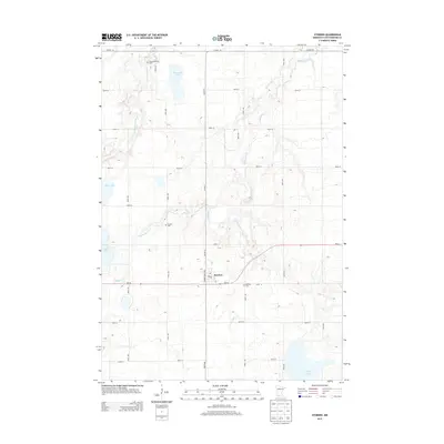
2013 Map of Storden
USGS Topo · Published 2013About this map
Storden serves as the central hub of this Cottonwood County landscape, situated where United States Ave meets MN-30. The surrounding area is defined by a rhythmic grid of rural roads and the winding path of Highwater Cr, which traverses the township from west to east. Local history is anchored by several long-standing community landmarks, including the Old Westbrook Cem in the northwest and Bethany Cem to the east of the town center.
Find a feature on this map
30 named features on this map. Tap any name to fly to it.
Don’t see what you’re looking for? This feature index may not catch every label — zoom into the map to look around manually.
Map Details
Editions of this 2013 Storden Map
This is the sole edition of this map. No revisions or reprints were ever made.
Other maps of this area

1953 · New Ulm
USGS Topo · 1:250,000

1954 · Fairmont
USGS Topo · 1:250,000

1957 · New Ulm
USGS Topo · 1:250,000

1958 · New Ulm
USGS Topo · 1:250,000

1958 · Fairmont
USGS Topo · 1:250,000

1967 · New Ulm
USGS Topo · 1:250,000

1967 · Sanborn
USGS Topo · 1:24,000

1967 · Walnut Grove
USGS Topo · 1:24,000

1967 · Storden
USGS Topo · 1:24,000

1967 · Jeffers
USGS Topo · 1:24,000