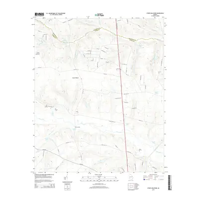
2014 Map of Storys Millpond
USGS Topo · Published 2014About this map
McBean Cr flows along the boundary between Richmond and Burke counties, carving a landscape defined by an extensive network of ponds and minor tributaries. The settlement of Grove Mount sits centrally in this coastal plain environment, where water management is historically evident through features like Storys Millpond, Goldberg Pond, and Stockton Pond. This 2014 survey serves as a vital resource for genealogists, as it meticulously documents family-named burial sites including the Rachael Tucker Cem, Walker Scott Cem, and Gresham Cem, alongside the Bines Slave Cem. The lower half of the map is dominated by the meandering path of Brier Creek, which is spanned by Walkers Bridge. This area exhibits a transition from rural residential clusters to a more complex drainage system, reflected in the names of numerous small branches such as New Hope Br and Walnut Br.
Find a feature on this map
75 named features on this map. Tap any name to fly to it.
Don’t see what you’re looking for? This feature index may not catch every label — zoom into the map to look around manually.
Map Details
Editions of this 2014 Storys Millpond Map
This is the sole edition of this map. No revisions or reprints were ever made.
Other maps of this area

1919 · Gough
USGS Topo · 1:62,500

1920 · Greens Cut
USGS Topo · 1:62,500

1921 · Augusta
USGS Topo · 1:62,500

1922 · Hephzibah
USGS Topo · 1:62,500

1943 · Greens Cut
USGS Topo · 1:62,500

1943 · Augusta East
USGS Topo · 1:125,000

1943 · Augusta
USGS Topo · 1:62,500

1948 · Hephzibah
USGS Topo · 1:62,500

1948 · Gough
USGS Topo · 1:62,500

1948 · Blythe
USGS Topo · 1:24,000