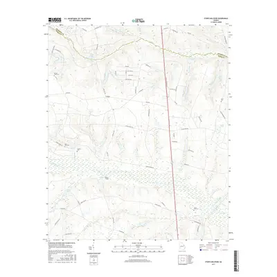
2017 Map of Storys Millpond
USGS Topo · Published 2017About this map
Brier Creek and its many meandering tributaries define the low-lying geography of this area on the Richmond and Burke county line. The landscape is a complex network of wetlands and managed water bodies, including Storys Millpond, Goldberg Pond, and Stockton Pond. This hydrological pattern, punctuated by the crossing at Walkers Bridge, reflects a long history of water management for local agriculture and industry.
Find a feature on this map
67 named features on this map. Tap any name to fly to it.
Don’t see what you’re looking for? This feature index may not catch every label — zoom into the map to look around manually.
Map Details
Editions of this 2017 Storys Millpond Map
This is the sole edition of this map. No revisions or reprints were ever made.
Other maps of this area

1919 · Gough
USGS Topo · 1:62,500

1920 · Greens Cut
USGS Topo · 1:62,500

1921 · Augusta
USGS Topo · 1:62,500

1922 · Hephzibah
USGS Topo · 1:62,500

1943 · Greens Cut
USGS Topo · 1:62,500

1943 · Augusta East
USGS Topo · 1:125,000

1943 · Augusta
USGS Topo · 1:62,500

1948 · Hephzibah
USGS Topo · 1:62,500

1948 · Gough
USGS Topo · 1:62,500

1948 · Blythe
USGS Topo · 1:24,000