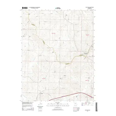
2015 Map of Stoutland
USGS Topo · Published 2015About this map
Stoutland straddles the boundary between Camden and Laclede Counties, serving as a focal point for this rural landscape in south-central Missouri. The BNSF Railway cuts a prominent path through the southern half of the quadrangle, passing through the small community of Sleeper and tracking eastward toward Delmar. This rail corridor remains a vital piece of the region's infrastructure, following the natural contours of the land above the winding watercourses.
Find a feature on this map
65 named features on this map. Tap any name to fly to it.
Don’t see what you’re looking for? This feature index may not catch every label — zoom into the map to look around manually.
Map Details
Editions of this 2015 Stoutland Map
This is the sole edition of this map. No revisions or reprints were ever made.
Other maps of this area

1933 · Stoutland
USGS Topo · 1:62,500

1938 · Stoutland
USGS Topo · 1:62,500

1941 · Lebanon
USGS Topo · 1:62,500

1943 · Richland
USGS Topo · 1:62,500

1943 · Lebanon
USGS Topo · 1:62,500

1943 · Drynob
USGS Topo · 1:62,500

1954 · Springfield
USGS Topo · 1:250,000

1954 · Drynob
USGS Topo · 1:62,500
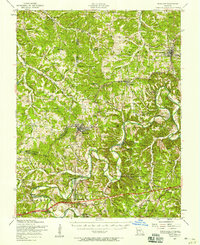
1954 · Richland
USGS Topo · 1:62,500
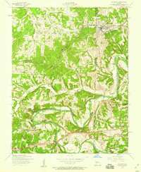
1954 · Richland
USGS Topo · 1:24,000