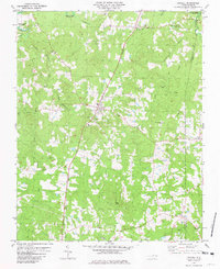
1981 Map of Stovall
USGS Topo · Published 1981About this map
John Penns Grave marks a significant historical waypoint in this Granville County landscape, situated amidst the rolling terrain between Stovall and Bullock. The Southern railroad serves as the primary north-south spine for the region, connecting the small communities of Gela, Lewis, and Dexter. These rural settlements are defined by their social centers, including Zion Chapel, Davis Chapel, and the Stovall Sch.
Find a feature on this map
32 named features on this map. Tap any name to fly to it.
Don’t see what you’re looking for? This feature index may not catch every label — zoom into the map to look around manually.
Map Details
Editions of this 1981 Stovall Map
2 editions found
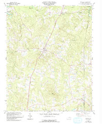
Other maps of this area

1941 · Clarksville
USGS Topo · 1:48,000

1943 · Clarksville
USGS Topo · 1:62,500

1953 · Oxford
USGS Topo · 1:62,500

1953 · Greensboro
USGS Topo · 1:250,000

1954 · Greensboro
USGS Topo · 1:250,000

1955 · Boydton
USGS Topo · 1:62,500

1957 · Clarksville
USGS Topo · 1:62,500

1962 · Greensboro
USGS Topo · 1:250,000

1966 · Greensboro
USGS Topo · 1:250,000

1966 · Oxford
USGS Topo · 1:62,500