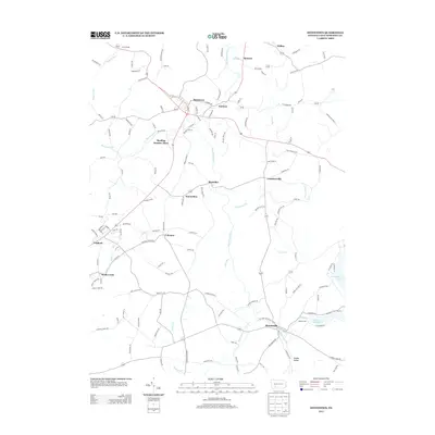
2013 Map of Stoystown
USGS Topo · Published 2013About this map
The Stonycreek River winds through the heart of this Somerset County landscape, connecting the borough of Stoystown with the neighboring settlement of Kantner. This 2013 survey reveals a rural geography defined by its mining and milling history, notably at Reading Number Three and Walkers Mill. The terrain is marked by high points like Walnut Hill and Gobblers Nob, which overlook a network of local roads such as Old Forbes Rd and Slick Rd.
Find a feature on this map
141 named features on this map. Tap any name to fly to it.
Don’t see what you’re looking for? This feature index may not catch every label — zoom into the map to look around manually.
Map Details
Editions of this 2013 Stoystown Map
This is the sole edition of this map. No revisions or reprints were ever made.
Other maps of this area

1913 · Somerset
USGS Topo · 1:62,500

1914 · Windber
USGS Topo · 1:62,500

1915 · Somerset
USGS Topo · 1:62,500

1916 · Windber
USGS Topo · 1:62,500

1921 · Meyersdale
USGS Topo · 1:62,500

1923 · Berlin
USGS Topo · 1:48,000

1929 · Berlin
USGS Topo · 1:62,500

1939 · Meyersdale
USGS Topo · 1:62,500

1944 · Somerset
USGS Topo · 1:62,500

1944 · Windber
USGS Topo · 1:62,500