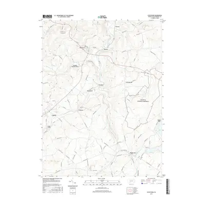
2016 Map of Stoystown
USGS Topo · Published 2016About this map
The Flight 93 National Memorial stands as a significant landmark in this part of Somerset County, marking the site of the September 11, 2001 crash. The landscape is characterized by the winding path of the Stonycreek River and its many tributaries, including Oven Run, Beaverdam Creek, and Wells Creek. These waterways have long influenced the positioning of local settlements like Stoystown, Shanksville, and Friedens.
Find a feature on this map
94 named features on this map. Tap any name to fly to it.
Don’t see what you’re looking for? This feature index may not catch every label — zoom into the map to look around manually.
Map Details
Editions of this 2016 Stoystown Map
This is the sole edition of this map. No revisions or reprints were ever made.
Other maps of this area

1913 · Somerset
USGS Topo · 1:62,500

1914 · Windber
USGS Topo · 1:62,500

1915 · Somerset
USGS Topo · 1:62,500

1916 · Windber
USGS Topo · 1:62,500

1921 · Meyersdale
USGS Topo · 1:62,500

1923 · Berlin
USGS Topo · 1:48,000

1929 · Berlin
USGS Topo · 1:62,500

1939 · Meyersdale
USGS Topo · 1:62,500

1944 · Somerset
USGS Topo · 1:62,500

1944 · Windber
USGS Topo · 1:62,500