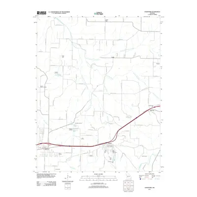
2011 Map of Strafford
USGS Topo · Published 2011About this map
Strafford serves as a primary anchor in this 2011 survey of Greene County, where the Interstate 44 corridor shapes the modern landscape near Holman and Red Top. The terrain is defined by the headwaters of several significant Missouri waterways, including the Pomme de Terre River, the Little Sac River, and the James River. A distinct pattern of small private reservoirs and dams is visible, such as Mueller Lake and Jones Lake, illustrating local water management and recreation. Genealogists will find a wealth of local data points through several family-named burial grounds, including the Mullinax Cemetery, Willis Cemetery, and Bumgarner Cemetery. The map also captures specialized rural features like the Happy Hollow Camp and a Landing Strip, reflecting the varied land use in this transition zone between agricultural fields and the expanding footprint of the city's outskirts.
Find a feature on this map
59 named features on this map. Tap any name to fly to it.
Don’t see what you’re looking for? This feature index may not catch every label — zoom into the map to look around manually.
Map Details
Editions of this 2011 Strafford Map
This is the sole edition of this map. No revisions or reprints were ever made.
Other maps of this area

1884 · Springfield
USGS Topo · 1:125,000

1886 · Springfield
USGS Topo · 1:125,000

1937 · Galloway
USGS Topo · 1:24,000

1937 · Ozark
USGS Topo · 1:48,000

1939 · Fordland
USGS Topo · 1:62,500

1942 · Fordland
USGS Topo · 1:62,500

1943 · Ozark
USGS Topo · 1:62,500

1945 · Ozark
USGS Topo · 1:62,500

1946 · Bassville
USGS Topo · 1:24,000

1946 · Niangua
USGS Topo · 1:62,500