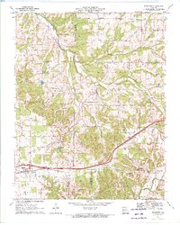
1970 Map of Strafford
USGS Topo · Published 1971About this map
Strafford serves as a focal point in this 1970 landscape, where the ST Louis - San Francisco railroad and a modern Weight Station mark the community's importance to the regional transit network. The terrain is defined by the winding paths of the Pomme de Terre River and the James River, which carve through the townships of Jackson, Grant, and West Dallas.
Find a feature on this map
32 named features on this map. Tap any name to fly to it.
Don’t see what you’re looking for? This feature index may not catch every label — zoom into the map to look around manually.
Map Details
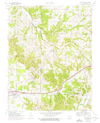
Editions of this 1970 Strafford Map
2 editions found
Other maps of this area

1884 · Springfield
USGS Topo · 1:125,000

1886 · Springfield
USGS Topo · 1:125,000

1937 · Galloway
USGS Topo · 1:24,000

1937 · Ozark
USGS Topo · 1:48,000

1939 · Fordland
USGS Topo · 1:62,500

1942 · Fordland
USGS Topo · 1:62,500

1943 · Ozark
USGS Topo · 1:62,500

1945 · Ozark
USGS Topo · 1:62,500

1946 · Bassville
USGS Topo · 1:24,000

1946 · Niangua
USGS Topo · 1:62,500