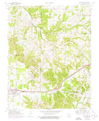
1970 Map of Strafford
USGS Topo · Published 1976About this map
Strafford serves as a primary hub in this southwest Missouri landscape, straddling the line between Jackson and West Dallas townships. The area is defined by the winding course of the Pomme de Terre River and its various tributaries like Jarrett Branch and Polk Spring. The St Louis-San Francisco railroad cuts a prominent path through the southern half of the sheet, linking the village of Holman with larger regional markets. Cultural landmarks and family history are well-preserved through numerous rural burial sites including Willis Cem, Mullings Cem, and Welch Cem, as well as gathering places like the Locust Prairie Community Center. These features, alongside the Happy Hollow Camp and several small churches such as McCalvary Ch, illustrate a settled rural community deeply connected to its river valleys and rail infrastructure during the mid-20th century.
Find a feature on this map
34 named features on this map. Tap any name to fly to it.
Don’t see what you’re looking for? This feature index may not catch every label — zoom into the map to look around manually.
Map Details
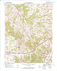
Editions of this 1970 Strafford Map
2 editions found
Other maps of this area

1884 · Springfield
USGS Topo · 1:125,000

1886 · Springfield
USGS Topo · 1:125,000

1937 · Galloway
USGS Topo · 1:24,000

1937 · Ozark
USGS Topo · 1:48,000

1939 · Fordland
USGS Topo · 1:62,500

1942 · Fordland
USGS Topo · 1:62,500

1943 · Ozark
USGS Topo · 1:62,500

1945 · Ozark
USGS Topo · 1:62,500

1946 · Bassville
USGS Topo · 1:24,000

1946 · Niangua
USGS Topo · 1:62,500