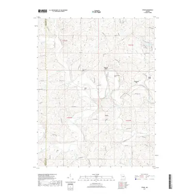
2017 Map of Strain
USGS Topo · Published 2017About this map
The Bourbeuse River and its meandering tributary, the Little Bourbeuse River, dominate this section of the Gasconade and Franklin county line. The landscape is defined by the sharp river bends and the historically significant crossings that facilitated travel through this terrain, including Millrock Ford and Rock Ford. These natural landmarks sit alongside established settlements like Champion City and Strain, which serve as the primary hubs for the surrounding rural homesteads.
Find a feature on this map
83 named features on this map. Tap any name to fly to it.
Don’t see what you’re looking for? This feature index may not catch every label — zoom into the map to look around manually.
Map Details
Editions of this 2017 Strain Map
This is the sole edition of this map. No revisions or reprints were ever made.
Other maps of this area

1903 · Sullivan
USGS Topo · 1:125,000

1935 · Gerald
USGS Topo · 1:48,000

1941 · Gerald
USGS Topo · 1:62,500

1944 · Gerald
USGS Topo · 1:62,500

1946 · Union
USGS Topo · 1:62,500

1947 · Sullivan
USGS Topo · 1:62,500

1948 · Argo
USGS Topo · 1:24,000

1948 · Union
USGS Topo · 1:62,500

1948 · Oak Hill
USGS Topo · 1:24,000

1949 · Saint Louis
USGS Topo · 1:250,000