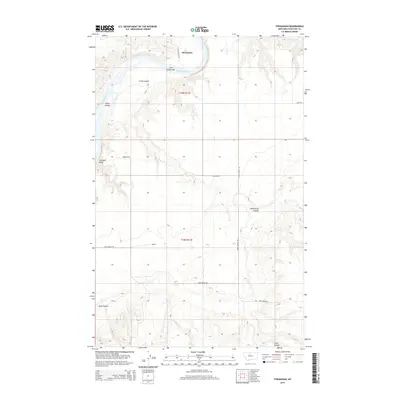
2014 Map of Stranahan
USGS Topo · Published 2014About this map
The Missouri River carves a sweeping path through this Chouteau County landscape, defining the northern geography with significant landmarks like Churchill Bend and the Three Islands cluster. This 2014 survey documents the rural character of the region, where the small settlement of Stranahan sits near the riverbanks. The terrain is characterized by a series of deep drainage features, or coulees, which move water toward the Missouri from the surrounding plains. Notable landforms such as Crow Coulee Bar and the winding Crow Coulee illustrate the active fluvial processes that have shaped the valley over time. Modern infrastructure, including Loma Bridge Rd and Stranahan Rd, provides access through this section of the Missouri River Breaks, while local place names like Homestead Coulee and Rowe Coulee hint at the historical agricultural and ranching footprint in this part of Montana.
Find a feature on this map
17 named features on this map. Tap any name to fly to it.
Don’t see what you’re looking for? This feature index may not catch every label — zoom into the map to look around manually.
Map Details
Editions of this 2014 Stranahan Map
This is the sole edition of this map. No revisions or reprints were ever made.
Other maps of this area

1890 · Fort Benton
USGS Topo · 1:250,000

1892 · Fort Benton
USGS Topo · 1:250,000

1897 · Fort Benton
USGS Topo · 1:250,000

1919 · Big Sandy
USGS Topo · 1:125,000

1953 · Boggs Island
USGS Topo · 1:24,000

1953 · Rocky Lake
USGS Topo · 1:24,000

1953 · Loma East
USGS Topo · 1:24,000

1953 · Verona
USGS Topo · 1:24,000

1953 · Big Bend School
USGS Topo · 1:24,000

1953 · Stranahan
USGS Topo · 1:24,000