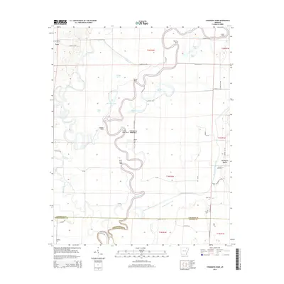
2014 Map of Strangers Home
USGS Topo · Published 2014About this map
Strangers Home and the rural lowlands of the White River basin define this portion of the Arkansas Delta near the border of Lawrence, Jackson, and Independence counties. The landscape is dominated by the winding course of the Black River, which creates a complex hydrology of oxbows and sloughs including Rainey Bend, Shirey Bay, and Horseshoe Lake. These riparian features, alongside the Strawberry River in the west, once shaped the movement of goods and people before the modern road network took hold.
Find a feature on this map
51 named features on this map. Tap any name to fly to it.
Don’t see what you’re looking for? This feature index may not catch every label — zoom into the map to look around manually.
Map Details
Editions of this 2014 Strangers Home Map
This is the sole edition of this map. No revisions or reprints were ever made.
Other maps of this area

1932 · Strawberry
USGS Topo · 1:62,500

1934 · Powhatan
USGS Topo · 1:62,500

1935 · Powhatan
USGS Topo · 1:62,500

1935 · Alicia
USGS Topo · 1:62,500

1935 · Strawberry
USGS Topo · 1:62,500

1941 · Strawberry
USGS Topo · 1:62,500

1953 · Memphis
USGS Topo · 1:250,000

1955 · Strawberry
USGS Topo · 1:24,000

1955 · Cord
USGS Topo · 1:24,000

1956 · Memphis
USGS Topo · 1:250,000