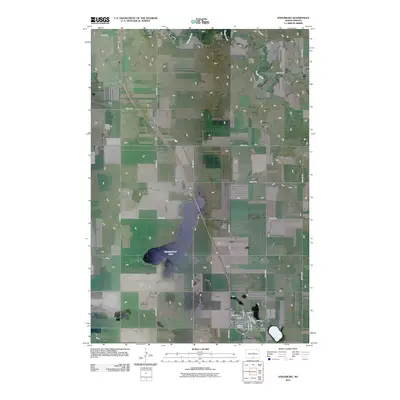
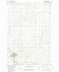
2011 Map of Strasburg
USGS Topo · Published 2011About this map
Strasburg anchors the southern portion of this Emmons County landscape, showing a traditional prairie town layout structured around Main St and a grid of residential avenues. The town's proximity to Baumgartner Lake and the winding course of Beaver Creek suggests a reliance on the area's limited water resources for both agriculture and local recreation. For those tracing family histories, Reform Cemetery is clearly marked on the southeastern edge of the settlement, serving as a primary point of interest for genealogical research. The map also captures the transition of modern transportation in the region, featuring the Linton Municipal Airport to the northwest and a network of rural roads such as Bosch Ln that connect the isolated farmsteads and agricultural plots typical of this North Dakota plains environment.
Find a feature on this map
24 named features on this map. Tap any name to fly to it.
Don’t see what you’re looking for? This feature index may not catch every label — zoom into the map to look around manually.
Map Details
Editions of this 2011 Strasburg Map
This is the sole edition of this map. No revisions or reprints were ever made.
Other maps of this area

1954 · Bismarck
USGS Topo · 1:250,000

1958 · Bismarck
USGS Topo · 1:250,000
1971 · Grassna
USGS Topo · 1:24,000

1971 · Grassna NE
USGS Topo · 1:24,000

1971 · Strasburg
USGS Topo · 1:24,000

1971 · Temvik
USGS Topo · 1:24,000

1979 · Senger Lake North
USGS Topo · 1:24,000
1979 · Westfield
USGS Topo · 1:24,000
1979 · Senger Lake South
USGS Topo · 1:24,000
1980 · Linton
USGS Topo · 1:24,000