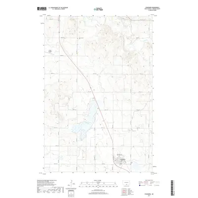
2017 Map of Strasburg
USGS Topo · Published 2017About this map
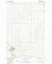
Strasburg serves as the focal point of this agricultural landscape in Emmons County, organized around a traditional grid with streets such as Main St and Romeo Rd. The community's spiritual and genealogical heritage is clearly marked by several denominational sites, including the Saints Peter and Paul Catholic Ch and its associated Saints Peter and Paul Catholic Cem. Beyond the town limits, the terrain is defined by the winding course of Beaver Cr and the waters of Baumgartner Lake. Smaller rural landmarks like the Peace Lutheran church and the Tiraspol Cem suggest the settlement patterns of the surrounding prairie. To the northwest, the Linton Municipal Airport provides a modern transportation link to this predominantly rural region.
Find a feature on this map
29 named features on this map. Tap any name to fly to it.
Don’t see what you’re looking for? This feature index may not catch every label — zoom into the map to look around manually.
Map Details
Editions of this 2017 Strasburg Map
This is the sole edition of this map. No revisions or reprints were ever made.
Other maps of this area

1954 · Bismarck
USGS Topo · 1:250,000

1958 · Bismarck
USGS Topo · 1:250,000
1971 · Grassna
USGS Topo · 1:24,000

1971 · Grassna NE
USGS Topo · 1:24,000

1971 · Strasburg
USGS Topo · 1:24,000

1971 · Temvik
USGS Topo · 1:24,000

1979 · Senger Lake North
USGS Topo · 1:24,000
1979 · Westfield
USGS Topo · 1:24,000
1979 · Senger Lake South
USGS Topo · 1:24,000
1980 · Linton
USGS Topo · 1:24,000