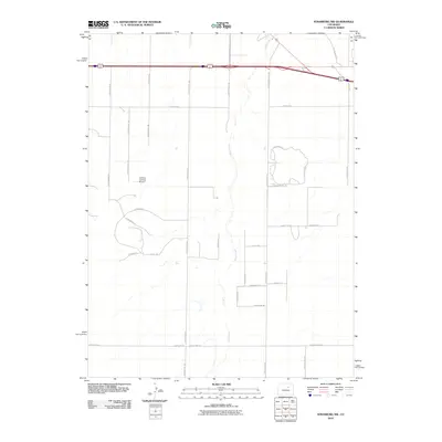
2010 Map of Strasburg NW
USGS Topo · Published 2010About this map
Kiowa Creek meanders vertically through the center of this High Plains landscape, serving as the primary drainage for a region increasingly defined by rural residential development and aviation. The Cochran Landing Airport stands as a focal point in the western half of the quadrangle, illustrating the importance of private aviation in this part of Colorado. A distinctive network of roads like N Harback Rd and N Schumaker Rd create a rigid grid that segments the terrain, though newer curvilinear developments such as Antelope Dr W and Antelope Dr E begin to break this pattern in the northeast. The presence of County Hwy 129 and County Hwy 30 suggests a transition from traditional agricultural use to a more connected suburban-fringe environment during the early 21st century.
Find a feature on this map
38 named features on this map. Tap any name to fly to it.
Don’t see what you’re looking for? This feature index may not catch every label — zoom into the map to look around manually.
Map Details
Editions of this 2010 Strasburg NW Map
This is the sole edition of this map. No revisions or reprints were ever made.
Other maps of this area

1890 · East Denver
USGS Topo · 1:125,000

1949 · Bennett
USGS Topo · 1:24,000

1950 · Roper School
USGS Topo · 1:24,000

1951 · Roper School
USGS Topo · 1:24,000

1951 · Manila
USGS Topo · 1:24,000

1953 · Denver
USGS Topo · 1:250,000

1954 · Watkins
USGS Topo · 1:24,000

1955 · Strasburg NW
USGS Topo · 1:24,000

1955 · Watkins SE
USGS Topo · 1:24,000

1955 · Strasburg
USGS Topo · 1:24,000