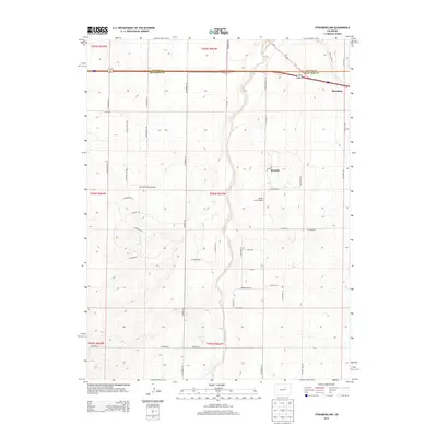
2013 Map of Strasburg NW
USGS Topo · Published 2013About this map
Kiowa Creek meanders northward through the center of this landscape, forming a natural corridor between the expanding residential developments of Bennett and Strasburg. The transition from rural high plains to suburban settlement is evident in the dense network of roads, such as N Dutch Valley Rd and N Schumaker Rd, which define the section lines of the Jeffersonian grid. Aviation history is embedded in the terrain through private airstrips like Van Slyke Field Airport and Young's Strip Airport, reflecting the region's relationship with light aircraft and wide-open spaces. The boundary between Adams and Arapahoe counties cuts straight across the north, providing a clear reference for local researchers tracing property lines or municipal growth at the edge of the Denver metropolitan reach.
Find a feature on this map
49 named features on this map. Tap any name to fly to it.
Don’t see what you’re looking for? This feature index may not catch every label — zoom into the map to look around manually.
Map Details
Editions of this 2013 Strasburg NW Map
This is the sole edition of this map. No revisions or reprints were ever made.
Other maps of this area

1890 · East Denver
USGS Topo · 1:125,000

1949 · Bennett
USGS Topo · 1:24,000

1950 · Roper School
USGS Topo · 1:24,000

1951 · Roper School
USGS Topo · 1:24,000

1951 · Manila
USGS Topo · 1:24,000

1953 · Denver
USGS Topo · 1:250,000

1954 · Watkins
USGS Topo · 1:24,000

1955 · Strasburg NW
USGS Topo · 1:24,000

1955 · Watkins SE
USGS Topo · 1:24,000

1955 · Strasburg
USGS Topo · 1:24,000