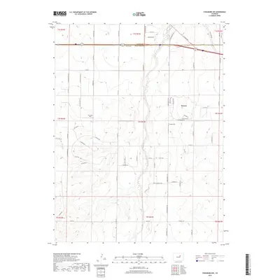
2019 Map of Strasburg NW
USGS Topo · Published 2019About this map
Bennett serves as a central hub on this 2019 survey, situated where the high plains of Eastern Colorado are bisected by the meandering path of Kiowa Creek. The landscape transitions from the residential developments of the town into a grid of rural agricultural sections and private airfields, including Van Slyke Field to the west and Young's Strip to the east. This modern topographic study illustrates the infrastructure of a growing community, highlighting the divide between Adams Co and Arapahoe Co along the corridor of Frontage Rd. Local history and genealogy researchers can trace the modern road network that evolved from older routes, such as E Colfax Ave and Old Victory Rd, while observing how drainage features like W Sand Cr influence the placement of local homesteads and transportation links.
Find a feature on this map
72 named features on this map. Tap any name to fly to it.
Don’t see what you’re looking for? This feature index may not catch every label — zoom into the map to look around manually.
Map Details
Editions of this 2019 Strasburg NW Map
This is the sole edition of this map. No revisions or reprints were ever made.
Other maps of this area

1890 · East Denver
USGS Topo · 1:125,000

1949 · Bennett
USGS Topo · 1:24,000

1950 · Roper School
USGS Topo · 1:24,000

1951 · Roper School
USGS Topo · 1:24,000

1951 · Manila
USGS Topo · 1:24,000

1953 · Denver
USGS Topo · 1:250,000

1954 · Watkins
USGS Topo · 1:24,000

1955 · Strasburg NW
USGS Topo · 1:24,000

1955 · Watkins SE
USGS Topo · 1:24,000

1955 · Strasburg
USGS Topo · 1:24,000