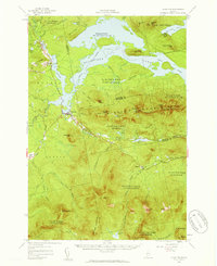
1956 Map of Stratton
USGS Topo · Published 1959About this map
Flagstaff Lake and its intricate shoreline dominate the northern half of this mid-century landscape, where the Dead River network was significantly altered by the creation of the reservoir. The small settlements of Stratton and Eustis serve as the primary hubs in this heavily timbered region, which is marked by high-altitude peaks including Bigelow Mountain and Sugarloaf Mtn. Genealogy and local history researchers can locate specific community markers like the Flagstaff Memorial Church and the Coplin School, which reflect the sparse but enduring settlement patterns of the area.
Find a feature on this map
64 named features on this map. Tap any name to fly to it.
Don’t see what you’re looking for? This feature index may not catch every label — zoom into the map to look around manually.
Map Details
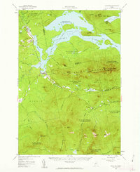
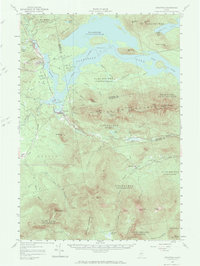
Editions of this 1956 Stratton Map
3 editions found
Other maps of this area

1925 · Pierce Pond
USGS Topo · 1:48,000

1927 · Pierce Pond
USGS Topo · 1:62,500

1928 · Chain Lakes
USGS Topo · 1:48,000

1928 · Spencer
USGS Topo · 1:48,000

1928 · Dead River
USGS Topo · 1:62,500

1928 · Stratton
USGS Topo · 1:48,000

1929 · Phillips
USGS Topo · 1:48,000

1930 · Kingfield
USGS Topo · 1:48,000

1931 · Dead River
USGS Topo · 1:48,000

1932 · Phillips
USGS Topo · 1:62,500