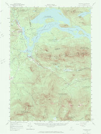
1956 Map of Stratton
USGS Topo · Published 1984About this map
Bigelow Mountain dominates this landscape, its series of high peaks including Cranberry Peak, West Peak, and Myron H Avery Peak forming a massive ridge between the Dead River valley and the smaller ponds to the south. This 1956 revision documents the area as it appeared after the creation of Flagstaff Lake, which submerged much of the former river valley. The villages of Stratton and Eustis serve as primary points of habitation, while the settlement of Bigelow is marked near an old railroad grade that once serviced the region's timber industry.
Find a feature on this map
54 named features on this map. Tap any name to fly to it.
Don’t see what you’re looking for? This feature index may not catch every label — zoom into the map to look around manually.
Map Details
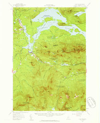
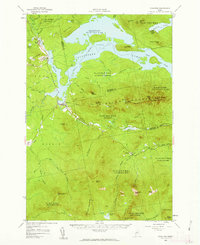
Editions of this 1956 Stratton Map
3 editions found
Other maps of this area

1925 · Pierce Pond
USGS Topo · 1:48,000

1927 · Pierce Pond
USGS Topo · 1:62,500

1928 · Chain Lakes
USGS Topo · 1:48,000

1928 · Spencer
USGS Topo · 1:48,000

1928 · Dead River
USGS Topo · 1:62,500

1928 · Stratton
USGS Topo · 1:48,000

1929 · Phillips
USGS Topo · 1:48,000

1930 · Kingfield
USGS Topo · 1:48,000

1931 · Dead River
USGS Topo · 1:48,000

1932 · Phillips
USGS Topo · 1:62,500