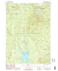
1986 Map of Stratton Mtn
USGS Topo · Published 1991About this map
The Green Mountain National Forest dominates this Vermont landscape, defined by high-elevation water bodies and the peaks of the Green Mountains. The Appalachian National Scenic Trail winds through the western half of the quadrangle, passing near Stratton Pond and through the Lye Brook Wilderness Area. This area serves as a significant hydrological headwaters region, where the East Branch Deerfield River flows south into the expansive Somerset Reservoir.
Find a feature on this map
27 named features on this map. Tap any name to fly to it.
Don’t see what you’re looking for? This feature index may not catch every label — zoom into the map to look around manually.
Map Details
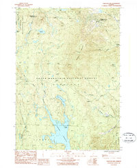
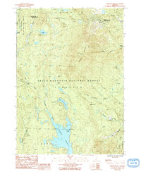
Editions of this 1986 Stratton Mtn Map
Other maps of this area

1889 · Wilmington
USGS Topo · 1:62,500

1891 · Wilmington
USGS Topo · 1:62,500

1894 · Londonderry
USGS Topo · 1:62,500

1894 · Equinox
USGS Topo · 1:62,500

1896 · Equinox
USGS Topo · 1:62,500

1898 · Bennington
USGS Topo · 1:62,500

1899 · Londonderry
USGS Topo · 1:62,500

1899 · Wilmington
USGS Topo · 1:62,500

1900 · Taconic
USGS Topo · 1:125,000

1900 · Equinox
USGS Topo · 1:62,500