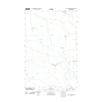
2011 Map of Stratton Reservoir
USGS Topo · Published 2011About this map
Water management dominates this Phillips County landscape, where a sophisticated network of coulees and creeks has been harnessed for rangeland utility. The terrain is marked by numerous water storage projects including Stratton Reservoir and the Number Twenty Reservoir, the latter secured by the Number Twenty Reservoir Dam. These features, along with others like the King Reservoir Dam and Barnard Dam, illustrate the critical infrastructure required to support agricultural life in this part of Montana.
Find a feature on this map
21 named features on this map. Tap any name to fly to it.
Don’t see what you’re looking for? This feature index may not catch every label — zoom into the map to look around manually.
Map Details
Editions of this 2011 Stratton Reservoir Map
This is the sole edition of this map. No revisions or reprints were ever made.
Other maps of this area

1954 · Jordan
USGS Topo · 1:250,000

1956 · Jordan
USGS Topo · 1:250,000

1958 · Jordan
USGS Topo · 1:250,000

1964 · Jordan
USGS Topo · 1:250,000

1965 · Sun Prairie
USGS Topo · 1:24,000

1965 · Herman Point
USGS Topo · 1:24,000

1965 · Whitcomb Lake
USGS Topo · 1:24,000
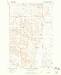
1965 · Stratton Reservoir
USGS Topo · 1:24,000
1965 · Dione Reservoir
USGS Topo · 1:24,000

1965 · Sheep Coulee
USGS Topo · 1:24,000