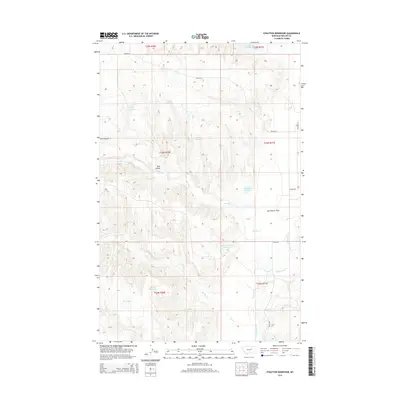
2014 Map of Stratton Reservoir
USGS Topo · Published 2014About this map
Sun Prairie Flats dominates this portion of Phillips County, where the landscape is defined by an intricate network of water management features designed for this arid region. The drainage patterns of Second Cr, Third Cr, and Telegraph Cr are punctuated by numerous man-made impoundments, including the large Stratton Reservoir and the numerically named Number Twenty Reservoir. These water sources, alongside others like King Reservoir and McNeil Reservoir, reflect the area's historical reliance on collected surface water for ranching and agriculture. Road infrastructure remains sparse, primarily consisting of Regina Rd and Holzhey Ln, which navigate the coulees and flats between sections. The topography is marked by notable depressions such as Dry Lake and the winding course of Tank Coulee, illustrating the subtle yet complex drainage systems of the Montana plains.
Find a feature on this map
22 named features on this map. Tap any name to fly to it.
Don’t see what you’re looking for? This feature index may not catch every label — zoom into the map to look around manually.
Map Details
Editions of this 2014 Stratton Reservoir Map
This is the sole edition of this map. No revisions or reprints were ever made.
Other maps of this area

1954 · Jordan
USGS Topo · 1:250,000

1956 · Jordan
USGS Topo · 1:250,000

1958 · Jordan
USGS Topo · 1:250,000

1964 · Jordan
USGS Topo · 1:250,000

1965 · Sun Prairie
USGS Topo · 1:24,000

1965 · Herman Point
USGS Topo · 1:24,000

1965 · Whitcomb Lake
USGS Topo · 1:24,000
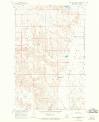
1965 · Stratton Reservoir
USGS Topo · 1:24,000
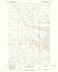
1965 · Dione Reservoir
USGS Topo · 1:24,000

1965 · Sheep Coulee
USGS Topo · 1:24,000