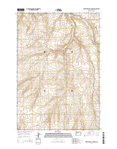
2014 Map of Strawberry Canyon SW
USGS Topo · Published 2014About this map
McDevitt Springs serves as a vital water source in this arid stretch of Morrow County, where the landscape is defined by a network of seasonal drainages and canyons. The terrain transitions from high plateaus down into Strawberry Canyon and Juniper Canyon, revealing the complex topography of north-central Oregon. This 2014 survey documents the modern road network that follows these natural contours, including Juniper Canyon Rd and Wells Springs Rd.
Find a feature on this map
25 named features on this map. Tap any name to fly to it.
Don’t see what you’re looking for? This feature index may not catch every label — zoom into the map to look around manually.
Map Details
Editions of this 2014 Strawberry Canyon SW Map
This is the sole edition of this map. No revisions or reprints were ever made.
Other maps of this area

1906 · Blalock Island
USGS Topo · 1:125,000

1908 · Blalock Island
USGS Topo · 1:125,000

1953 · Pendleton
USGS Topo · 1:250,000

1956 · Pendleton
USGS Topo · 1:250,000

1968 · Swaggart Buttes
USGS Topo · 1:24,000

1968 · Lexington
USGS Topo · 1:24,000

1968 · Ione North
USGS Topo · 1:24,000

1968 · Ione South
USGS Topo · 1:24,000
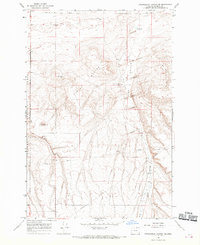
1968 · Strawberry Canyon NE
USGS Topo · 1:24,000
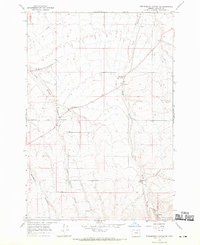
1968 · Strawberry Canyon SE
USGS Topo · 1:24,000