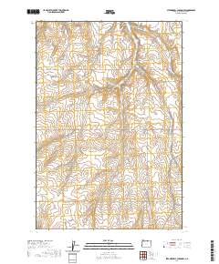
2020 Map of Strawberry Canyon SW
USGS Topo · Published 2020About this map
McDevitt Springs provides a rare water source in this arid stretch of Morrow County, where the landscape is defined by a series of deep drainages cutting through the plateau. This 2020 survey illustrates a rural network of roads often named for the early families and destinations of the region, such as Proudfoot Rd, Barak Martin Rd, and Lexington Grange Rd. The complex topography of the Columbia Basin is evident in the many named draws including Strawberry Canyon, Little Juniper Canyon, and Well Spring Canyon. These features indicate the historical importance of localized water and sheltered corridors for travel and ranching. The presence of Strawberry East Rd and Wheatland Rd reflects the enduring agricultural focus of the area, connecting isolated canyon bottoms to the higher surrounding plains.
Find a feature on this map
26 named features on this map. Tap any name to fly to it.
Don’t see what you’re looking for? This feature index may not catch every label — zoom into the map to look around manually.
Map Details
Editions of this 2020 Strawberry Canyon SW Map
This is the sole edition of this map. No revisions or reprints were ever made.
Other maps of this area

1906 · Blalock Island
USGS Topo · 1:125,000

1908 · Blalock Island
USGS Topo · 1:125,000

1953 · Pendleton
USGS Topo · 1:250,000

1956 · Pendleton
USGS Topo · 1:250,000

1968 · Swaggart Buttes
USGS Topo · 1:24,000

1968 · Lexington
USGS Topo · 1:24,000

1968 · Ione North
USGS Topo · 1:24,000

1968 · Ione South
USGS Topo · 1:24,000
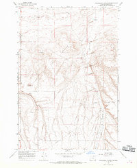
1968 · Strawberry Canyon NE
USGS Topo · 1:24,000
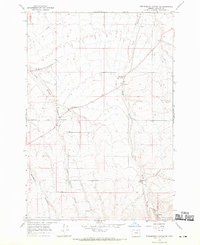
1968 · Strawberry Canyon SE
USGS Topo · 1:24,000