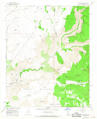
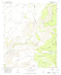
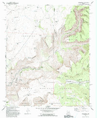
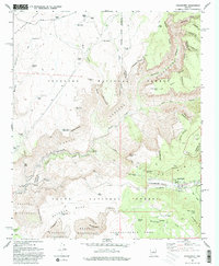
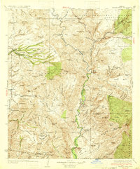
1967 Map of Strawberry
USGS Topo · Published 1968About this map
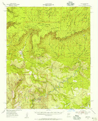
The rugged topography of the Mogollon Rim country is defined here by the intersection of Coconino National Forest and Tonto National Forest. At the heart of the region, the small settlement of Strawberry sits near the headwaters of Strawberry Creek, while the landscape to the west drops sharply toward the perennial flow of Fossil Creek. This 1960s survey documents the critical infrastructure of the high desert, where numerous cattle tanks like Mail Trail Tank No 2 and Nash Pasture Tank support ranching operations like the Lazy T-7 Ranch. Near the western edge, the Irving Powerplant and the lush riparian area of Fossil Springs mark the transition from the high elevations of Deadman Mesa to the canyon floor. The map traces a network of remote routes, including a Pack Trail and several Jeep Trails that navigate through Sandrock Canyon and across Hardscrabble Mesa.
Find a feature on this map
68 named features on this map. Tap any name to fly to it.
Don’t see what you’re looking for? This feature index may not catch every label — zoom into the map to look around manually.
Map Details
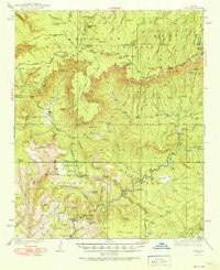
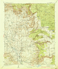
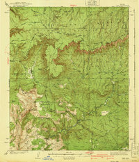
Editions of this 1967 Strawberry Map
4 editions found
Other maps of this area

1887 · Verde
USGS Topo · 1:250,000

1892 · Verde
USGS Topo · 1:250,000

1923 · Camp Verde
USGS Topo · 1:125,000

1929 · Turret Peak
USGS Topo · 1:125,000

1932 · Camp Verde
USGS Topo · 1:125,000
1933 · Turret Peak
USGS Topo · 1:125,000
1934 · Pine
USGS Topo · 1:62,500
1936 · Camp Verde
USGS Topo · 1:125,000
1940 · Pine
USGS Topo · 1:62,500
1952 · Pine
USGS Topo · 1:62,500