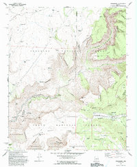
1967 Map of Strawberry
USGS Topo · Published 1993About this map
Strawberry sits within the Strawberry Valley, marking a transition between the elevated heights of the Mogollon Rim and the deep incisions of the surrounding canyon country. This 1960s survey documents a landscape defined by its vital water sources and early infrastructure, notably the Irving Powerplant situated along Fossil Creek. The topography is a complex network of plateaus including Deadman Mesa and Hardscrabble Mesa, separated by steep drops into Fossil Canyon and Boulder Canyon.
Find a feature on this map
71 named features on this map. Tap any name to fly to it.
Don’t see what you’re looking for? This feature index may not catch every label — zoom into the map to look around manually.
Map Details
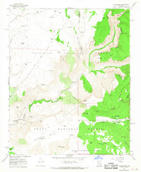
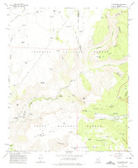
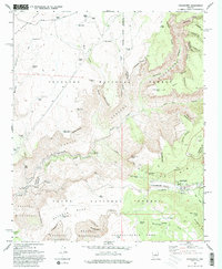
Editions of this 1967 Strawberry Map
4 editions found
Other maps of this area

1887 · Verde
USGS Topo · 1:250,000

1892 · Verde
USGS Topo · 1:250,000

1923 · Camp Verde
USGS Topo · 1:125,000

1929 · Turret Peak
USGS Topo · 1:125,000

1932 · Camp Verde
USGS Topo · 1:125,000

1933 · Turret Peak
USGS Topo · 1:125,000

1934 · Pine
USGS Topo · 1:62,500

1936 · Camp Verde
USGS Topo · 1:125,000

1940 · Pine
USGS Topo · 1:62,500

1952 · Pine
USGS Topo · 1:62,500