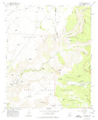
1967 Map of Strawberry
USGS Topo · Published 1975About this map
Strawberry sits at the junction of several high-desert drainage systems in the late 1960s, a period when the area was defined by its cattle ranching and early hydroelectric infrastructure. The town is situated near the headwaters of Strawberry Creek, while the western portion of the map is dominated by the steep canyons of Fossil Creek. A critical piece of regional history is captured at the Irving Powerplant, part of an early 20th-century system that utilized the constant flow of Fossil Springs for energy. The map illustrates a landscape of high plateaus including Deadman Mesa and Hardscrabble Mesa, separated by deep washes and draws. Historic transportation routes like the Mail Trail and Fossil Pack Trail provide evidence of how people navigated this complex terrain before modern road networks were fully established. Ranching operations are marked by scattered water features such as the Lazy T-7 Ranch and numerous stock tanks like Mail Trail Tank No 2.
Find a feature on this map
56 named features on this map. Tap any name to fly to it.
Don’t see what you’re looking for? This feature index may not catch every label — zoom into the map to look around manually.
Map Details
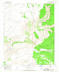
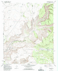
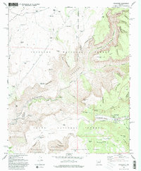
Editions of this 1967 Strawberry Map
4 editions found
Other maps of this area

1887 · Verde
USGS Topo · 1:250,000

1892 · Verde
USGS Topo · 1:250,000

1923 · Camp Verde
USGS Topo · 1:125,000

1929 · Turret Peak
USGS Topo · 1:125,000

1932 · Camp Verde
USGS Topo · 1:125,000

1933 · Turret Peak
USGS Topo · 1:125,000

1934 · Pine
USGS Topo · 1:62,500

1936 · Camp Verde
USGS Topo · 1:125,000

1940 · Pine
USGS Topo · 1:62,500

1952 · Pine
USGS Topo · 1:62,500