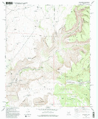
1967 Map of Strawberry
USGS Topo · Published 1993About this map
Strawberry sits at the junction of High Plateau cattle ranching and deep canyon wilderness in this 1967 field-checked survey. The landscape is defined by massive plateau formations including Deadman Mesa and Hardscrabble Mesa, which drop sharply into the Fossil Springs drainage. This area served as a critical water-resource hub, evidenced by the numerous livestock tanks like the Lazy T-7 Ranch and Rafter Tank, alongside industrial infrastructure like the Irving Powerplant located near the confluence of the Fossil Creek canyon system.
Find a feature on this map
69 named features on this map. Tap any name to fly to it.
Don’t see what you’re looking for? This feature index may not catch every label — zoom into the map to look around manually.
Map Details
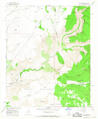
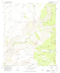
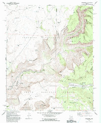
Editions of this 1967 Strawberry Map
4 editions found
Other maps of this area

1887 · Verde
USGS Topo · 1:250,000

1892 · Verde
USGS Topo · 1:250,000

1923 · Camp Verde
USGS Topo · 1:125,000

1929 · Turret Peak
USGS Topo · 1:125,000

1932 · Camp Verde
USGS Topo · 1:125,000

1933 · Turret Peak
USGS Topo · 1:125,000

1934 · Pine
USGS Topo · 1:62,500

1936 · Camp Verde
USGS Topo · 1:125,000

1940 · Pine
USGS Topo · 1:62,500

1952 · Pine
USGS Topo · 1:62,500