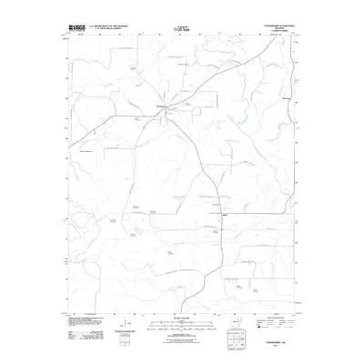
2011 Map of Strawberry
USGS Topo · Published 2011About this map
Strawberry and Saffell anchor this Lawrence County landscape, where the Strawberry River meanders through the northeast corner, joined by tributaries like Steep Bank Creek and Reeds Creek. The settlement pattern is defined by a dense network of local routes, including Lawrence Road 288 and Lawrence Road 340, which connect numerous rural burial grounds that speak to the area's deep genealogical roots.
Find a feature on this map
67 named features on this map. Tap any name to fly to it.
Don’t see what you’re looking for? This feature index may not catch every label — zoom into the map to look around manually.
Map Details
Editions of this 2011 Strawberry Map
This is the sole edition of this map. No revisions or reprints were ever made.
Other maps of this area

1932 · Strawberry
USGS Topo · 1:62,500

1934 · Powhatan
USGS Topo · 1:62,500

1935 · Powhatan
USGS Topo · 1:62,500

1935 · Alicia
USGS Topo · 1:62,500

1935 · Strawberry
USGS Topo · 1:62,500

1941 · Strawberry
USGS Topo · 1:62,500

1953 · Memphis
USGS Topo · 1:250,000

1954 · Charlotte
USGS Topo · 1:24,000

1955 · Strawberry
USGS Topo · 1:24,000

1955 · Cord
USGS Topo · 1:24,000