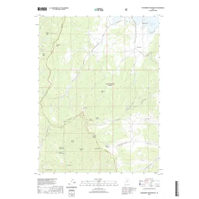
2020 Map of Strawberry Reservoir SW
USGS Topo · Published 2020About this map
Strawberry Reservoir anchors the northeastern corner of this high-altitude landscape, where the waters of the Strawberry Narrows meet Renegade Point. This portion of the Uinta National Forest is defined by a series of prominent ridges and drainage basins, including Strawberry Ridge and the Fourth Water Ridge. The terrain transitions from the open water of the reservoir into a complex system of canyons such as Buffalo Canyon and Right Fork Timber Canyon, separated by high points like Baldy Mtn and Chaplain Point.
Find a feature on this map
50 named features on this map. Tap any name to fly to it.
Don’t see what you’re looking for? This feature index may not catch every label — zoom into the map to look around manually.
Map Details
Editions of this 2020 Strawberry Reservoir SW Map
This is the sole edition of this map. No revisions or reprints were ever made.
Other maps of this area

1885 · Salt Lake
USGS Topo · 1:250,000

1885 · Manti
USGS Topo · 1:250,000

1895 · Manti
USGS Topo · 1:250,000

1907 · Strawberry Valley
USGS Topo · 1:125,000

1909 · Strawberry Valley
USGS Topo · 1:125,000

1939 · Soldier Summit
USGS Topo · 1:62,500

1942 · Soldier Summit
USGS Topo · 1:62,500

1954 · Salt Lake City
USGS Topo · 1:250,000

1956 · Price
USGS Topo · 1:250,000

1958 · Salt Lake City
USGS Topo · 1:250,000