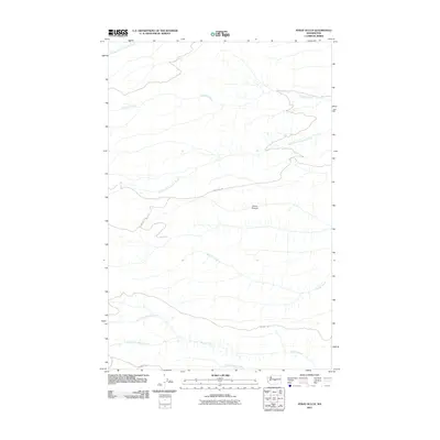
2011 Map of Stray Gulch
USGS Topo · Published 2011About this map
Tarpiscan Creek and its many tributaries carve a intricate drainage pattern through this Kittitas County landscape, which is defined by its deep canyons and upland road networks. The map details a significant watershed transition between Tekison Creek to the north and the complex Brushy Creek system to the south.
Find a feature on this map
13 named features on this map. Tap any name to fly to it.
Don’t see what you’re looking for? This feature index may not catch every label — zoom into the map to look around manually.
Map Details
Editions of this 2011 Stray Gulch Map
This is the sole edition of this map. No revisions or reprints were ever made.
Other maps of this area

1912 · Malaga
USGS Topo · 1:48,000

1913 · Wenatchee
USGS Topo · 1:62,500

1914 · Malaga
USGS Topo · 1:62,500

1915 · Wenatchee
USGS Topo · 1:62,500

1920 · Colockum Pass
USGS Topo · 1:125,000

1922 · Colockum Pass
USGS Topo · 1:125,000

1957 · Wenatchee
USGS Topo · 1:250,000
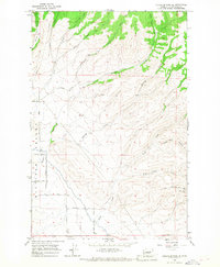
1966 · Colockum Pass SE
USGS Topo · 1:24,000
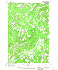
1966 · Colockum Pass
USGS Topo · 1:24,000
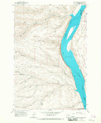
1966 · Cape Horn SE
USGS Topo · 1:24,000