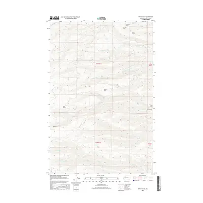
2017 Map of Stray Gulch
USGS Topo · Published 2017About this map
Stray Gulch and the surrounding drainage basins of Kittitas County define this portion of the Washington interior. This landscape is marked by a complex system of deep incisions and seasonal watercourses, including Brewton Gulch and Horse Canyon. The map reveals how the land was historically divided under the Public Land Survey System, with township boundaries for t20n r21e and t19n r21e cutting across the natural topography.
Find a feature on this map
19 named features on this map. Tap any name to fly to it.
Don’t see what you’re looking for? This feature index may not catch every label — zoom into the map to look around manually.
Map Details
Editions of this 2017 Stray Gulch Map
This is the sole edition of this map. No revisions or reprints were ever made.
Other maps of this area

1912 · Malaga
USGS Topo · 1:48,000

1913 · Wenatchee
USGS Topo · 1:62,500

1914 · Malaga
USGS Topo · 1:62,500

1915 · Wenatchee
USGS Topo · 1:62,500

1920 · Colockum Pass
USGS Topo · 1:125,000

1922 · Colockum Pass
USGS Topo · 1:125,000

1957 · Wenatchee
USGS Topo · 1:250,000
1966 · Colockum Pass SE
USGS Topo · 1:24,000
1966 · Colockum Pass
USGS Topo · 1:24,000
1966 · Cape Horn SE
USGS Topo · 1:24,000