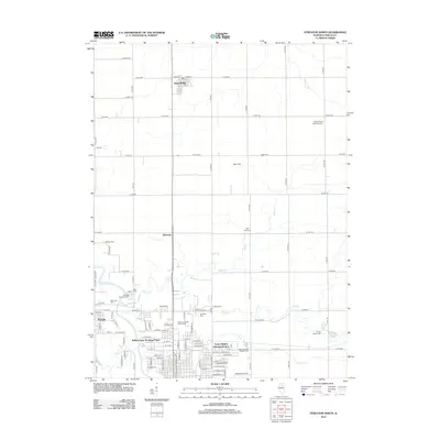
2012 Map of Streator North
USGS Topo · Published 2012About this map
The Vermilion River and its network of tributaries, including Otter Cr, Wolf Cr, and Prairie Cr, define the agricultural and residential landscape north of Streator. The area's settlement history is marked by a high density of burial grounds, such as Grand Rapids Methodist Cem, Wolf Creek Cem, and Naramoor Cem, which provide significant points of interest for genealogists researching LaSalle County families. The map details the transition from the concentrated grid of Grand Ridge and Kangley to industrial and recreational spaces like Anderson Fields Golf Course and the Evans Heights Housing Project. Transportation routes are anchored by a north-south railroad line and the Rothrock Airport at the southern edge, while the local geography is dotted with landmarks like Rees Field and Marilla Park. This map provides a clear record of the area's development, balancing established rural communities with modern residential infrastructure.
Find a feature on this map
74 named features on this map. Tap any name to fly to it.
Don’t see what you’re looking for? This feature index may not catch every label — zoom into the map to look around manually.
Map Details
Editions of this 2012 Streator North Map
This is the sole edition of this map. No revisions or reprints were ever made.
Other maps of this area

1892 · Marseilles
USGS Topo · 1:62,500

1892 · Ottawa
USGS Topo · 1:62,500

1915 · Ottawa
USGS Topo · 1:62,500

1916 · Marseilles
USGS Topo · 1:62,500

1925 · Streator
USGS Topo · 1:62,500

1927 · Streator
USGS Topo · 1:62,500

1940 · Marseilles
USGS Topo · 1:62,500

1946 · Ottawa
USGS Topo · 1:62,500

1958 · Odell
USGS Topo · 1:62,500

1958 · Aurora
USGS Topo · 1:250,000