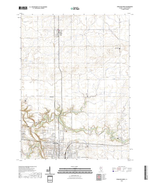
2024 Map of Streator North
USGS Topo · Published 2024About this map
Streator occupies the southern reaches of this LaSalle County landscape, where the Vermilion River and Eagle Creek carve deep into the Illinois prairie. This modern survey illustrates the dense residential grid of the northern city, contrasting sharply with the expansive agricultural townships to the north. The area is defined by its waterways, including Wolf Creek and Otter Creek, which serve as natural boundaries between the small settlements of Grand Ridge and Kangley.
Find a feature on this map
84 named features on this map. Tap any name to fly to it.
Don’t see what you’re looking for? This feature index may not catch every label — zoom into the map to look around manually.
Map Details
Editions of this 2024 Streator North Map
This is the sole edition of this map. No revisions or reprints were ever made.
Other maps of this area

1892 · Marseilles
USGS Topo · 1:62,500

1892 · Ottawa
USGS Topo · 1:62,500

1915 · Ottawa
USGS Topo · 1:62,500

1916 · Marseilles
USGS Topo · 1:62,500

1925 · Streator
USGS Topo · 1:62,500

1927 · Streator
USGS Topo · 1:62,500

1940 · Marseilles
USGS Topo · 1:62,500

1946 · Ottawa
USGS Topo · 1:62,500

1958 · Odell
USGS Topo · 1:62,500

1958 · Aurora
USGS Topo · 1:250,000