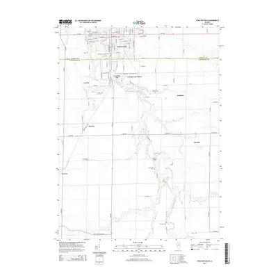
2015 Map of Streator South
USGS Topo · Published 2015About this map
The Vermilion River carves a deep, winding path south of Streator, serving as the primary geographical anchor for a region defined by agricultural plains and scattered rural settlements. This 2015 survey illuminates the transition from the organized grid of the city to the more irregular topography of the river valley, where water bodies like Lentman Lake and numerous creek systems, including Moon Cr and Prairie Cr, break the landscape. For genealogists, the map is particularly detailed in its inventory of burial grounds, marking sites like River View Cem, Old Saint Stephen Cem, and Moon's Point Cem. Small unincorporated communities such as Coalville, Vermilion City, and Manville are depicted, showing their relationship to local landmarks like the Manville Bridge and the county line between LaSalle and Livingston counties.
Find a feature on this map
51 named features on this map. Tap any name to fly to it.
Don’t see what you’re looking for? This feature index may not catch every label — zoom into the map to look around manually.
Map Details
Editions of this 2015 Streator South Map
This is the sole edition of this map. No revisions or reprints were ever made.
Other maps of this area

1925 · Streator
USGS Topo · 1:62,500

1927 · Streator
USGS Topo · 1:62,500

1935 · Pontiac
USGS Topo · 1:62,500

1939 · Pontiac
USGS Topo · 1:62,500

1958 · Flanagan
USGS Topo · 1:62,500

1958 · Odell
USGS Topo · 1:62,500

1958 · Aurora
USGS Topo · 1:250,000

1958 · Peoria
USGS Topo · 1:250,000

1961 · Aurora
USGS Topo · 1:250,000

1961 · Peoria
USGS Topo · 1:250,000