1988 Map of Street
USGS Topo · Published 1988About this map
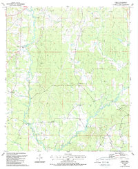
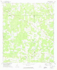
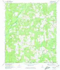
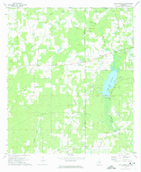
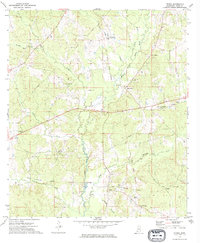
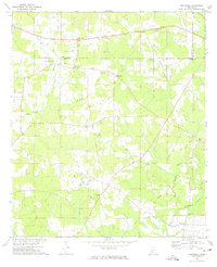
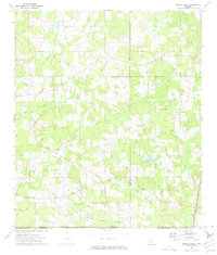
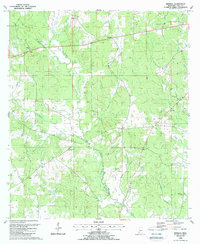
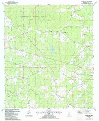
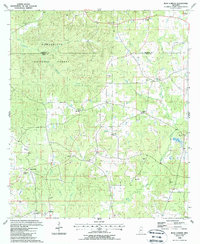
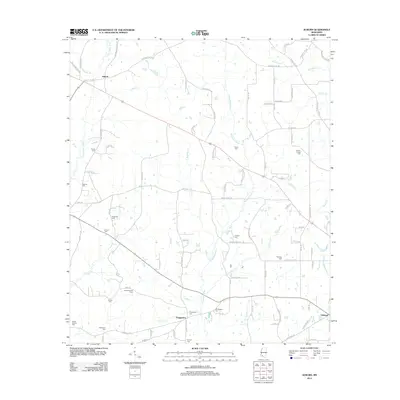
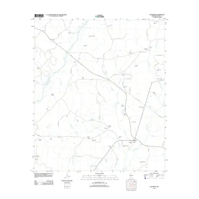
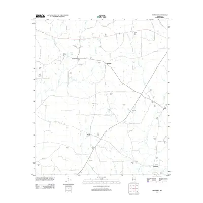
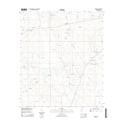
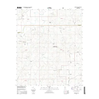
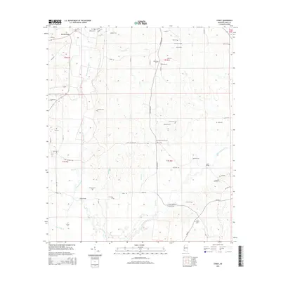
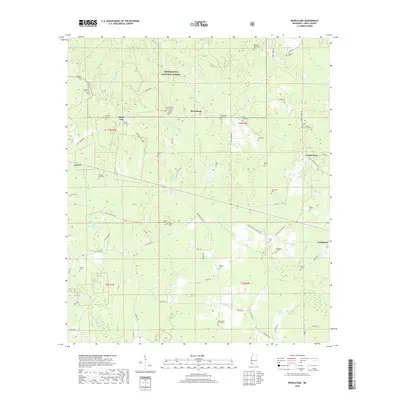
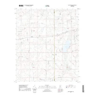
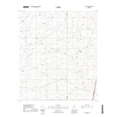
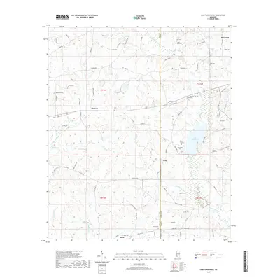
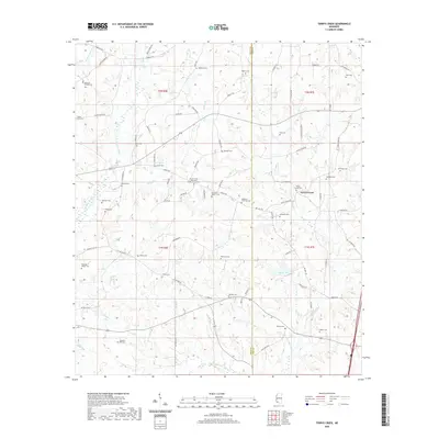
The West Fork Amite River and East Fork Amite River define the local topography of this Mississippi landscape, framing a rural community anchored by the settlement of Street. By the late 1980s, the region shows a mix of traditional agricultural patterns and active energy extraction, notably within the Liberty Oil Field where several oil wells and a drill hole are documented. For family historians, the map is remarkably dense with burial sites, including the Maxwell Hamilton Cem, Robinson Cem Grave, and McDowell Cem, alongside numerous country churches like Galilee Ch and Mt Pilgrim Ch. These features suggest a deeply rooted settlement pattern that persisted even as a modern pipeline was cut across the drainage basins of Powell Creek and Davis Creek.
Find a feature on this map
46 named features on this map. Tap any name to fly to it.
Don’t see what you’re looking for? This feature index may not catch every label — zoom into the map to look around manually.
Map Details
Editions of this 1988 Street Map
This is the sole edition of this map. No revisions or reprints were ever made.
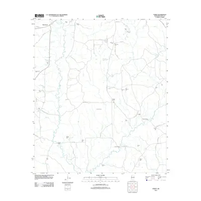
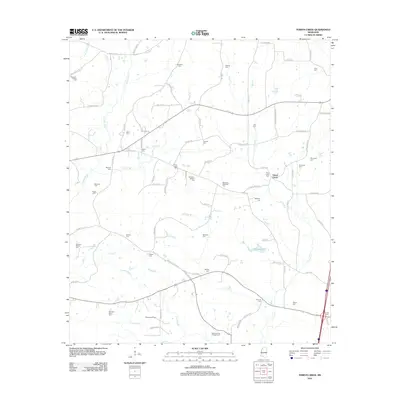
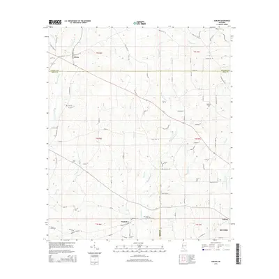
Historical Maps of Beechwood Through Time
67 maps found
1972 Auburn
Amite County, MS
1972 Gillsburg
Amite County, MS
1972 Lake Tangipahoa
Amite County, MS
1972 Peoria
Amite County, MS
1972 Smithdale
Amite County, MS
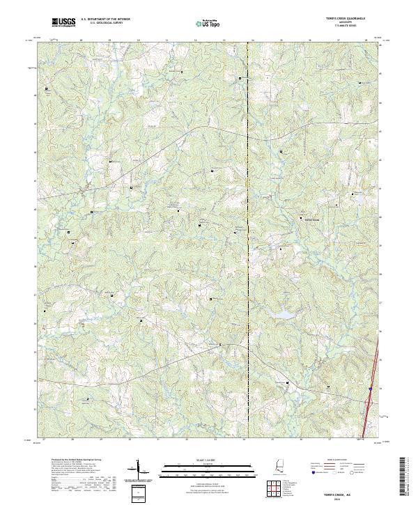
1972 Terrys Creek
Amite County, MS
1988 Berwick
Amite County, MS
1988 Bewelcome
Amite County, MS
1988 Busy Corner
Amite County, MS
1988 Homochitto
Amite County, MS
1988 Street
Amite County, MS
2000 Homochitto
Amite County, MS
2012 Auburn
Amite County, MS
2012 Berwick
Amite County, MS
2012 Bewelcome
Amite County, MS
2012 Busy Corner
Amite County, MS
2012 Gillsburg
Amite County, MS
2012 Homochitto
Amite County, MS
2012 Lake Tangipahoa
Amite County, MS
2012 Peoria
Amite County, MS
2012 Smithdale
Amite County, MS
2012 Street
Amite County, MS
2012 Terrys Creek
Amite County, MS
2015 Auburn
Amite County, MS
2015 Berwick
Amite County, MS
2015 Bewelcome
Amite County, MS
2015 Busy Corner
Amite County, MS
2015 Gillsburg
Amite County, MS
2015 Homochitto
Amite County, MS
2015 Lake Tangipahoa
Amite County, MS
2015 Peoria
Amite County, MS
2015 Smithdale
Amite County, MS
2015 Street
Amite County, MS
2015 Terrys Creek
Amite County, MS
2018 Auburn
Amite County, MS
2018 Berwick
Amite County, MS
2018 Bewelcome
Amite County, MS
2018 Busy Corner
Amite County, MS
2018 Gillsburg
Amite County, MS
2018 Homochitto
Amite County, MS
2018 Lake Tangipahoa
Amite County, MS
2018 Peoria
Amite County, MS
2018 Smithdale
Amite County, MS
2018 Street
Amite County, MS
2018 Terrys Creek
Amite County, MS
2020 Auburn
Amite County, MS
2020 Berwick
Amite County, MS
2020 Gillsburg
Amite County, MS
2020 Lake Tangipahoa
Amite County, MS
2020 Peoria
Amite County, MS
2020 Smithdale
Amite County, MS
2020 Street
Amite County, MS
2020 Terrys Creek
Amite County, MS
2021 Bewelcome
Amite County, MS
2021 Busy Corner
Amite County, MS
2021 Homochitto
Amite County, MS
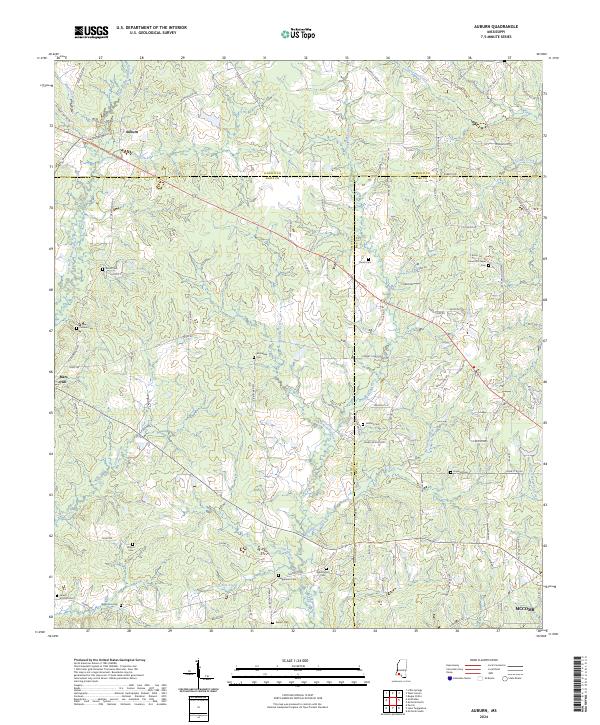
2024 Auburn
Amite County, MS
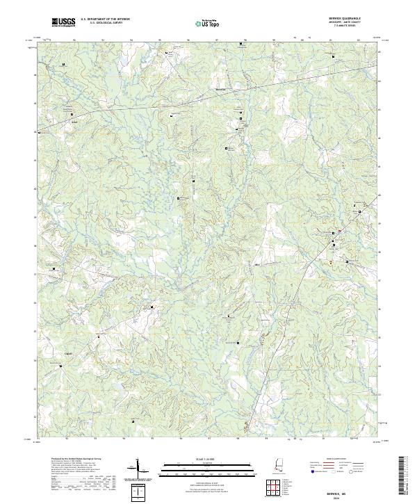
2024 Berwick
Amite County, MS
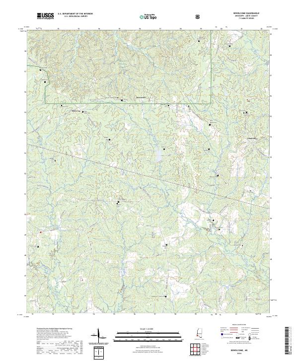
2024 Bewelcome
Amite County, MS
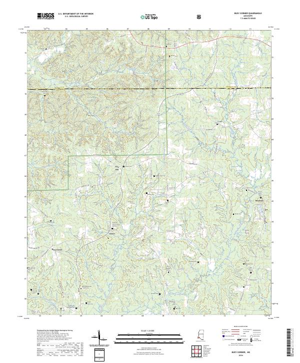
2024 Busy Corner
Amite County, MS
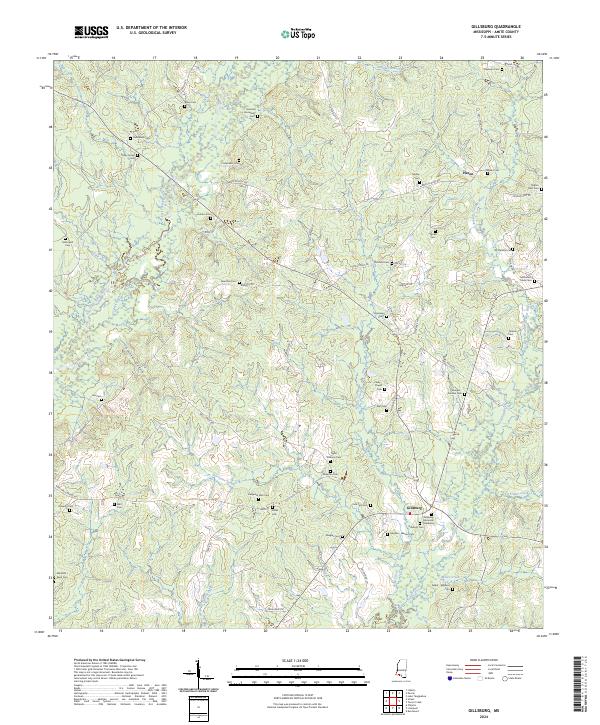
2024 Gillsburg
Amite County, MS
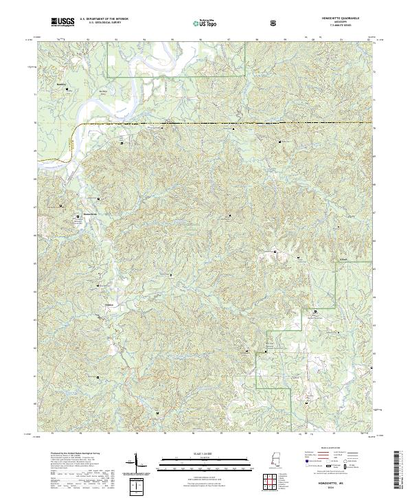
2024 Homochitto
Amite County, MS
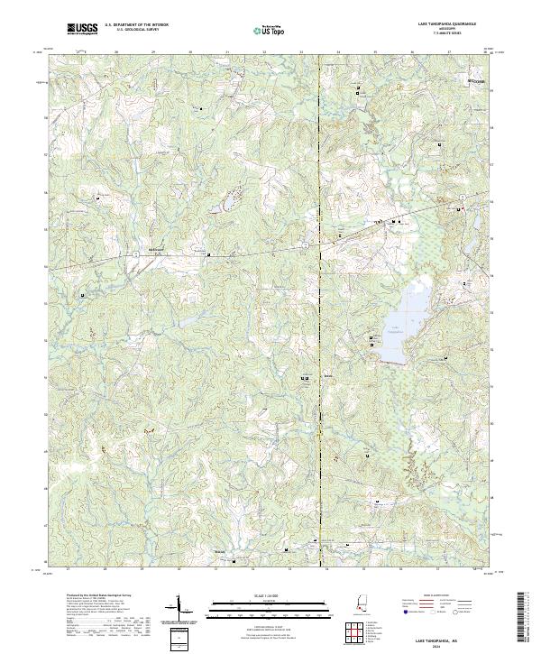
2024 Lake Tangipahoa
Amite County, MS
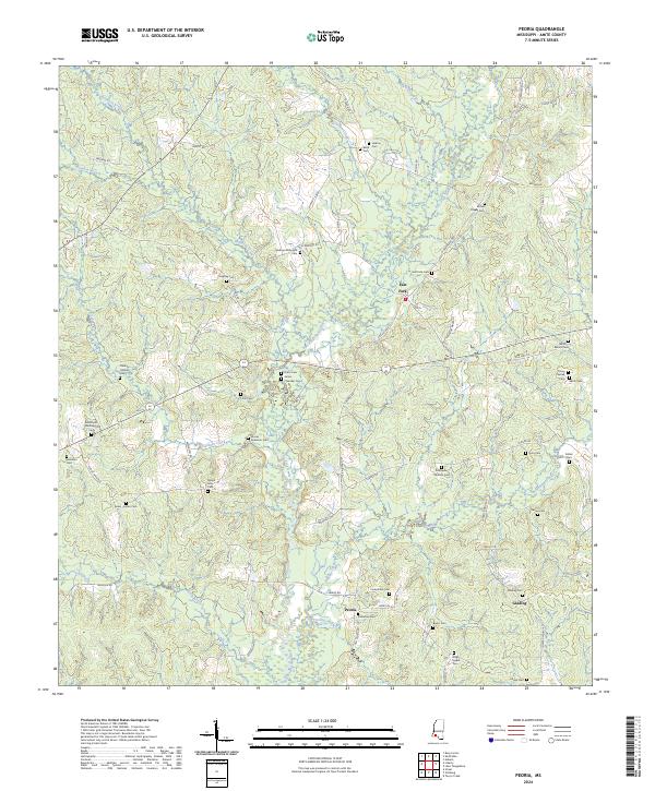
2024 Peoria
Amite County, MS
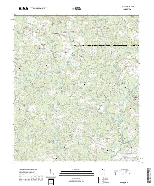
2024 Smithdale
Amite County, MS
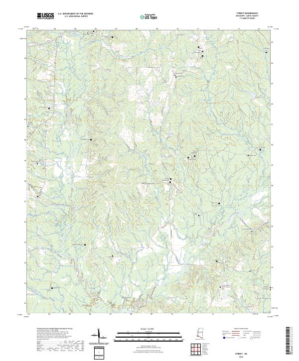
2024 Street
Amite County, MS
2024 Terrys Creek
Amite County, MS