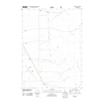
2011 Map of Strevell
USGS Topo · Published 2011About this map
Strevell and the northern reach of the Gunnell Post Office anchor this portrait of the high desert landscape along the Idaho-Utah border. The settlement pattern here is dictated by water and drainage, with the Six-Mile Ranch and the nearby Sixmile Reservoir sitting at the mouth of Sixmile Canyon. A network of unpaved tracks like Jones Rd and Kelsaw Canyon Rd connect these remote outposts, tracing the contours of a land dominated by seasonal flows and essential springs. Notable landmarks including Round Mountain and its namesake Round Mountain Spring provided vital landmarks for early travelers and ranchers in this corner of Cassia County. The map also documents several named water sources critical for livestock and survival in the arid terrain, such as Rice Canyon Spring and Hidden Rock Spring.
Find a feature on this map
26 named features on this map. Tap any name to fly to it.
Don’t see what you’re looking for? This feature index may not catch every label — zoom into the map to look around manually.
Map Details
Editions of this 2011 Strevell Map
This is the sole edition of this map. No revisions or reprints were ever made.
Other maps of this area

1954 · Pocatello
USGS Topo · 1:250,000

1954 · Brigham City
USGS Topo · 1:250,000

1958 · Pocatello
USGS Topo · 1:250,000

1958 · Brigham City
USGS Topo · 1:250,000

1959 · Strevell
USGS Topo · 1:62,500

1959 · Kelton Pass
USGS Topo · 1:62,500

1959 · Park Valley
USGS Topo · 1:62,500

1962 · Brigham City
USGS Topo · 1:250,000

1968 · Naf
USGS Topo · 1:24,000

1968 · Bridge
USGS Topo · 1:24,000