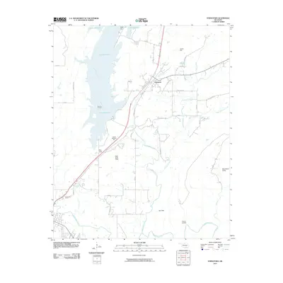
2010 Map of Stringtown
USGS Topo · Published 2010About this map
Stringtown sits at the junction of rail and road infrastructure in this part of Atoka County, serving as a focal point for a landscape defined by the winding paths of North Boggy Creek and Muddy Boggy Creek. The dominant water feature is the Atoka Reservoir, which stretches across the northern portion of the quadrangle, held back by the Atoka Reservoir Dam. This artificial lake has altered the drainage patterns of the area, though older landmarks like the Boggy Bend Ford remain noted on the landscape.
Find a feature on this map
44 named features on this map. Tap any name to fly to it.
Don’t see what you’re looking for? This feature index may not catch every label — zoom into the map to look around manually.
Map Details
Editions of this 2010 Stringtown Map
This is the sole edition of this map. No revisions or reprints were ever made.
Other maps of this area

1896 · Coalgate
USGS Topo · 1:125,000

1898 · McAlester
USGS Topo · 1:125,000

1899 · Coalgate
USGS Topo · 1:125,000

1899 · Atoka
USGS Topo · 1:125,000

1900 · Atoka
USGS Topo · 1:125,000

1900 · Coalgate
USGS Topo · 1:125,000

1901 · Antlers
USGS Topo · 1:125,000

1909 · Mc Alester
USGS Topo · 1:125,000

1912 · Antlers
USGS Topo · 1:125,000

1925 · Antlers
USGS Topo · 1:125,000