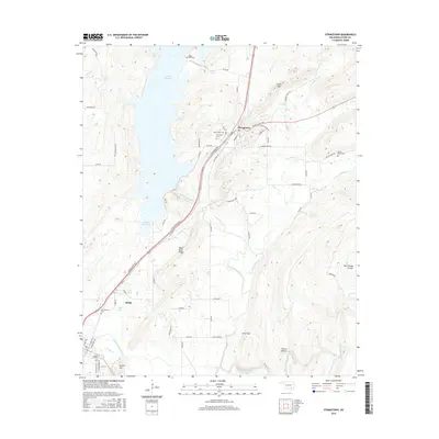
2016 Map of Stringtown
USGS Topo · Published 2016About this map
Atoka Reservoir dominates the western landscape of this 2016 survey, while the eastern terrain transitions into the high ground of Black Knob Ridge. The topography is defined by significant natural passages such as Grants Gap and Sand Gap, which have historically influenced movement through the corridor. The area's cultural history is notably preserved through its numerous burial grounds, including the Confederate Cem near the southern edge of the quadrangle.
Find a feature on this map
72 named features on this map. Tap any name to fly to it.
Don’t see what you’re looking for? This feature index may not catch every label — zoom into the map to look around manually.
Map Details
Editions of this 2016 Stringtown Map
This is the sole edition of this map. No revisions or reprints were ever made.
Other maps of this area

1896 · Coalgate
USGS Topo · 1:125,000

1898 · McAlester
USGS Topo · 1:125,000

1899 · Coalgate
USGS Topo · 1:125,000

1899 · Atoka
USGS Topo · 1:125,000

1900 · Atoka
USGS Topo · 1:125,000

1900 · Coalgate
USGS Topo · 1:125,000

1901 · Antlers
USGS Topo · 1:125,000

1909 · Mc Alester
USGS Topo · 1:125,000

1912 · Antlers
USGS Topo · 1:125,000

1925 · Antlers
USGS Topo · 1:125,000