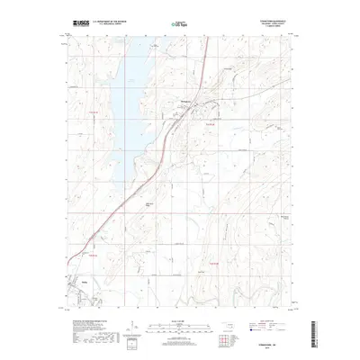
2019 Map of Stringtown
USGS Topo · Published 2019About this map
Atoka Reservoir and the drainage of North Boggy Creek define the geography of this portion of Atoka County. The settlement of Stringtown serves as a central hub, where Wells Street and Mulberry St meet along the valley floor. The map highlights the transition from the lowlands of Prairie Hollow and Sand Gap to the elevated terrain of Black Knob Ridge and Scratch Hill. Genealogists and local researchers will find significant value in the distribution of burial sites across the landscape, including Stringtown Cem, Mount Olive Cem, and the Confederate Cem located near the southern edge of the quadrangle. Smaller watercourses like Chickasaw Cr and Sandy Cr lace through the ridges, illustrating the natural water system that supported early ranching and settlement in this part of Oklahoma.
Find a feature on this map
75 named features on this map. Tap any name to fly to it.
Don’t see what you’re looking for? This feature index may not catch every label — zoom into the map to look around manually.
Map Details
Editions of this 2019 Stringtown Map
This is the sole edition of this map. No revisions or reprints were ever made.
Other maps of this area

1896 · Coalgate
USGS Topo · 1:125,000

1898 · McAlester
USGS Topo · 1:125,000

1899 · Coalgate
USGS Topo · 1:125,000

1899 · Atoka
USGS Topo · 1:125,000

1900 · Atoka
USGS Topo · 1:125,000

1900 · Coalgate
USGS Topo · 1:125,000

1901 · Antlers
USGS Topo · 1:125,000

1909 · Mc Alester
USGS Topo · 1:125,000

1912 · Antlers
USGS Topo · 1:125,000

1925 · Antlers
USGS Topo · 1:125,000