
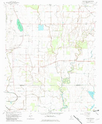
1967 Map of Stringtown
USGS Topo · Published 1968About this map
Grapeland and Stringtown anchor this 1967 survey of the Delta landscape along the Bolivar and Washington County line. The terrain is defined by a dense network of meandering waterways, including Saw Grass Lake, Stillwater Bayou, and the winding course of Clear Creek. A notable historical marker, the Indian Treaty Boundary, cuts through the northeastern corner near Meltonia, reflecting the region's colonial and indigenous history.
Find a feature on this map
39 named features on this map. Tap any name to fly to it.
Don’t see what you’re looking for? This feature index may not catch every label — zoom into the map to look around manually.
Map Details
Editions of this 1967 Stringtown Map
2 editions found
Other maps of this area

1933 · Lamont
USGS Topo · 1:62,500

1939 · Refuge
USGS Topo · 1:62,500

1939 · Lamont
USGS Topo · 1:62,500

1939 · Tralake
USGS Topo · 1:62,500

1939 · Choctaw
USGS Topo · 1:62,500

1953 · Greenwood
USGS Topo · 1:250,000

1956 · Greenwood
USGS Topo · 1:250,000
1967 · Skene
USGS Topo · 1:24,000

1967 · Leland
USGS Topo · 1:24,000
1967 · Shaw
USGS Topo · 1:24,000