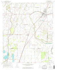
1967 Map of Shaw
USGS Topo · Published 1968About this map
Shaw serves as the primary hub in this portion of the Mississippi Delta, situated at the confluence of the Illinois Central railroad and Porter Bayou. The map illustrates a landscape deeply shaped by its agrarian and cultural history, marked by the prominent Old Indian Treaty Boundary cutting diagonally across the terrain. Numerous small country churches, such as Bethlehem No 1 Ch and Greengrove Ch, are scattered throughout the lowland plains, reflecting the distributed nature of rural communities in the late 1960s. The meandering paths of Bogue Phalia and Silver Bayou define the drainage of the area, while several Indian Mounds provide evidence of much older inhabitants. Local history and genealogy interest is further supported by the presence of uniquely named sites like Mexican Cem and Strangers Rest Cem near the Sunflower County line.
Find a feature on this map
29 named features on this map. Tap any name to fly to it.
Don’t see what you’re looking for? This feature index may not catch every label — zoom into the map to look around manually.
Map Details
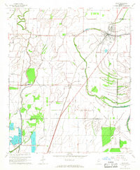
Editions of this 1967 Shaw Map
2 editions found
Other maps of this area

1934 · Cleveland
USGS Topo · 1:62,500

1939 · Tralake
USGS Topo · 1:62,500

1939 · Choctaw
USGS Topo · 1:62,500

1940 · Baird
USGS Topo · 1:62,500

1940 · Cleveland
USGS Topo · 1:62,500

1953 · Greenwood
USGS Topo · 1:250,000

1956 · Greenwood
USGS Topo · 1:250,000

1965 · Indianola
USGS Topo · 1:24,000

1966 · Cleveland
USGS Topo · 1:24,000

1967 · Baird
USGS Topo · 1:62,500