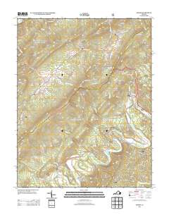
2013 Map of Strom
USGS Topo · Published 2013About this map
Grace Furnace and the ruins of Roaring Run Furnace stand as markers of the early industrial history that once thrived in this corner of the Rich Patch Mountains. The landscape is defined by the winding course of Craig Cr, which flows past small settlements and crossroads like Parr, Hipes, and Strom. The presence of Iron Ore Knob and Lignite points to the mineral wealth that drew workers and settlers to these hollows, while locations such as Hooks Mill suggest the agrarian and mechanical roots of the local economy. From the high point at Montgomery Knob down to the crossing at Hollow Ford, the map details a terrain where every gap, such as Hays Gap, and creek branch shaped the movements of people and the placement of remote homesteads in Silent Dell and Surber.
Find a feature on this map
58 named features on this map. Tap any name to fly to it.
Don’t see what you’re looking for? This feature index may not catch every label — zoom into the map to look around manually.
Map Details
Editions of this 2013 Strom Map
This is the sole edition of this map. No revisions or reprints were ever made.
Other maps of this area

1887 · Lewisburg
USGS Topo · 1:125,000

1891 · Lewisburg
USGS Topo · 1:125,000

1894 · Natural Bridge
USGS Topo · 1:125,000

1913 · Eagle Rock
USGS Topo · 1:48,000

1915 · Eagle Rock
USGS Topo · 1:62,500

1921 · Callaghan
USGS Topo · 1:48,000

1923 · Callaghan
USGS Topo · 1:62,500

1945 · Clifton Forge
USGS Topo · 1:62,500
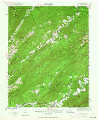
1945 · New Castle
USGS Topo · 1:62,500
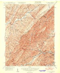
1946 · Callaghan
USGS Topo · 1:62,500